
| Distance / Altitude | Location | Report Date / Time | Live Weather | Wind | Gusts | Temp. | Visibility | Cloud |
|---|---|---|---|---|---|---|---|---|
| 100 km SSE / 339 m | Puvirnituq Airport (Quebec) | 2024-05-01 05:00 local (2024/05/01 09:00 GMT) | Clear | fresh winds from the E (30 km/h at 80) | -9°C | 14 | ||
| 206 km WSW / 15 m | SHIP8780 (Marine) | 2024-05-01 04:00 local (2024/05/01 08:00 GMT) | - (- km/h at -) | — | - km | |||
| 251 km ENE / 503 m | Parc National Des Pingualuit- Que (Canada) | 2024-05-01 05:00 local (2024/05/01 09:00 GMT) | no report | light winds from the E (9 km/h at 90) | -12°C | - | - no observation - | |
| 260 km S / 1 m | InukjuakUa-Que (Canada) | 2024-05-01 05:00 local (2024/05/01 09:00 GMT) | Clear | fresh winds from the E (31 km/h at 100) | -8°C | 14 | - no observation - | |
| 390 km NNE / 217 m | Cape Dorset Airport (N.w. Territories) | 2024-05-01 05:00 local (2024/05/01 09:00 GMT) | Dry and cloudy | light winds from the N.(Wind varies from 300 to 010 degs) (11 km/h at 10) | -6°C | 14 | overcast |
| Contours: | Roads & Rivers: | Select a
tide station / surf break / city |
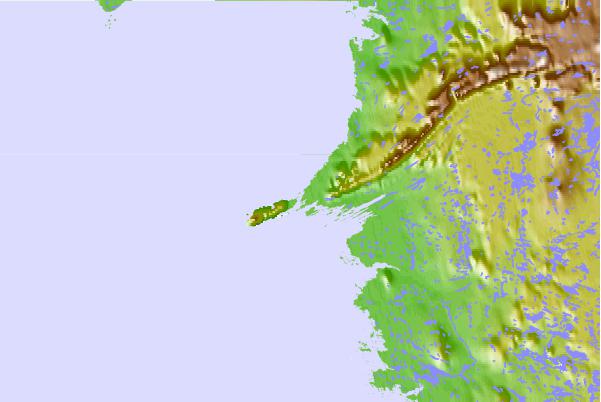
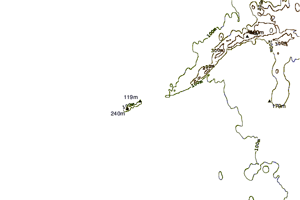
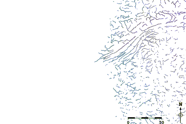
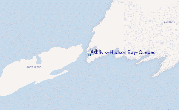
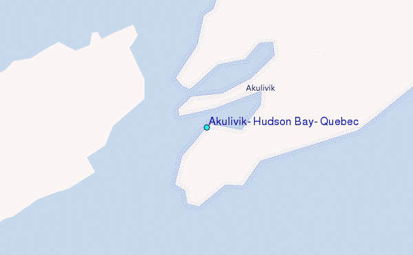
Use this relief map to navigate to tide stations, surf breaks and cities that are in the area of Akulivik, Hudson Bay, Quebec.
Other Nearby Locations' tide tables and tide charts to Akulivik, Hudson Bay, Quebec:
click location name for more details
 Surf breaks close to Akulivik, Hudson Bay, Quebec:
|
||
|---|---|---|
| Closest surf break | Marathon | 896 mi |
| Second closest surf break | Alona Bay | 978 mi |
| Third closest surf break | Keweenaw Peninsula | 1004 mi |
| Fourth closest surf break | Au Sable Point | 1027 mi |
| Fifth closest surf break | Grand Marias | 1027 mi |

 Nearest
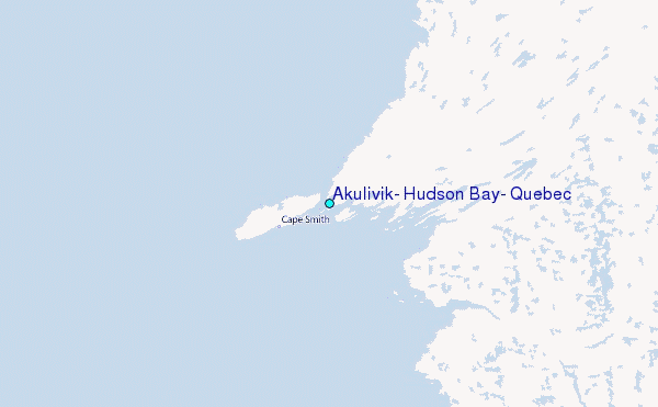