
| Distance / Altitude | Location | Report Date / Time | Live Weather | Wind | Gusts | Temp. | Visibility | Cloud |
|---|---|---|---|---|---|---|---|---|
| 37 km ENE / 6 m | Port Said/EL Gamil (Egypt) | 2024-05-01 02:00 local (2024/05/01 00:00 GMT) | no report | light winds from the WNW (13 km/h at 290) | 21°C | 10 | - - - | |
| 41 km ENE / 214 m | Port Said Airport (Egypt) | 2024-05-01 03:00 local (2024/05/01 01:00 GMT) | Dry and partly cloudy | light winds from the W (13 km/h at 280) | 21°C | 10.0 | scattered | |
| 126 km S / 74 m | Cairo (Egypt) | 2024-05-01 02:00 local (2024/05/01 00:00 GMT) | no report | light winds from the NW (11 km/h at 320) | 20°C | 10 | - | |
| 127 km S / 217 m | Cairo International Airport (Egypt) | 2024-05-01 03:30 local (2024/05/01 01:30 GMT) | Dry and partly cloudy | light winds from the NNW (9 km/h at 340) | 19°C | 10.0 | broken scattered broken | |
| 166 km W / 205 m | Alexandria Borg Airport (Egypt) | 2024-05-01 03:00 local (2024/05/01 01:00 GMT) | Dry and partly cloudy | light winds from the NW (13 km/h at 320) | 18°C | 10.0 | scattered |
| Contours: | Roads & Rivers: | Select a
tide station / surf break / city |
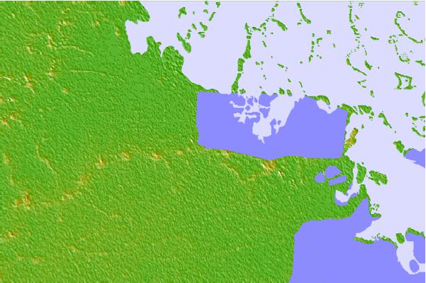

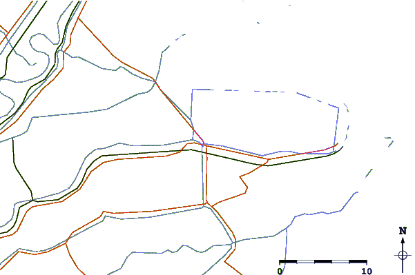
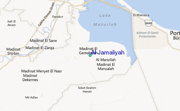
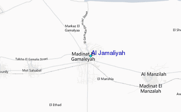
Use this relief map to navigate to tide stations, surf breaks and cities that are in the area of Al Jamaliyah.
Other Nearby Locations' tide tables and tide charts to Al Jamaliyah:
click location name for more details
 Surf breaks close to Al Jamaliyah:
|
||
|---|---|---|
| Closest surf break | Mandara | 110 mi |
| Second closest surf break | El Corniche | 112 mi |
| Third closest surf break | Ramadas | 112 mi |
| Fourth closest surf break | Shatby | 116 mi |
| Fifth closest surf break | Agami | 124 mi |

 Nearest
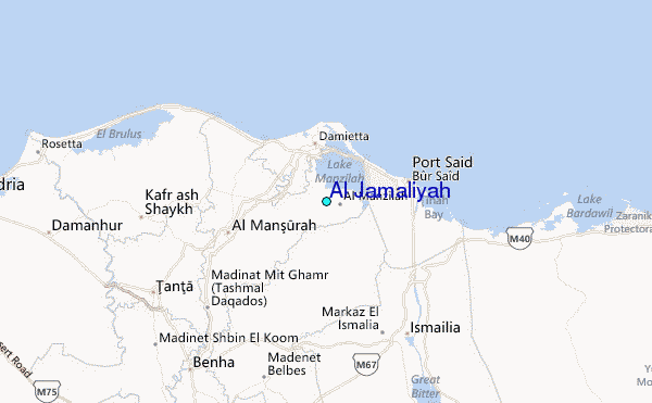