
| Distance / Altitude | Location | Report Date / Time | Live Weather | Wind | Gusts | Temp. | Visibility | Cloud |
|---|---|---|---|---|---|---|---|---|
| 39 km ESE / 219 m | Dagupan (Philippines) | 2024-04-28 19:00 local (2024/04/28 11:00 GMT) | distant precipitation but not falling at station | fresh winds from the NNW (36 km/h at 340) | 32°C | 10 | - | |
| 59 km SW / 3 m | SHIP12106 (Marine) | 2024-04-28 19:00 local (2024/04/28 11:00 GMT) | - (- km/h at -) | 30°C | - | |||
| 72 km ENE / 1501 m | Baguio (Philippines) | 2024-04-28 19:00 local (2024/04/28 11:00 GMT) | light to moderate thunderstorm | calm (4 km/h at 320) | 23°C | 8 | - | |
| 92 km S / 5 m | Iba (Philippines) | 2024-04-28 19:00 local (2024/04/28 11:00 GMT) | haze | light winds from the NW (7 km/h at 320) | 33°C | 20 | - | |
| 125 km SSE / 155 m | Clark AB (Philippines) | 2024-04-28 19:00 local (2024/04/28 11:00 GMT) | haze | light winds from the S (14 km/h at 180) | 36°C | 15 | - |
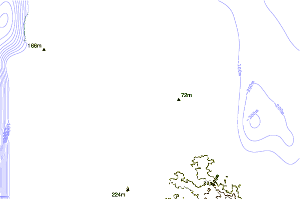
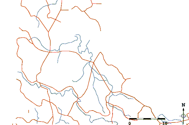
| Contours: | Roads & Rivers: | Select a
tide station / surf break / city |
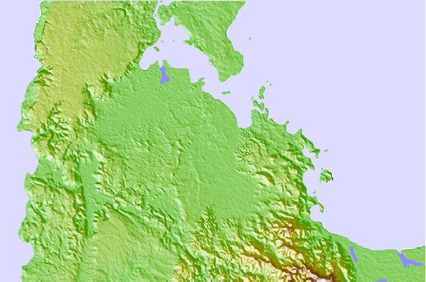
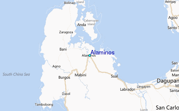
Use this relief map to navigate to tide stations, surf breaks and cities that are in the area of Alaminos.
Other Nearby Locations' tide tables and tide charts to Alaminos:
click location name for more details
 Surf breaks close to Alaminos:
|
||
|---|---|---|
| Closest surf break | Bauang | 35 mi |
| Second closest surf break | Poro Point | 37 mi |
| Third closest surf break | Car-rille | 38 mi |
| Fourth closest surf break | Mona Liza Point | 41 mi |
| Fifth closest surf break | San Juan | 42 mi |

 Nearest
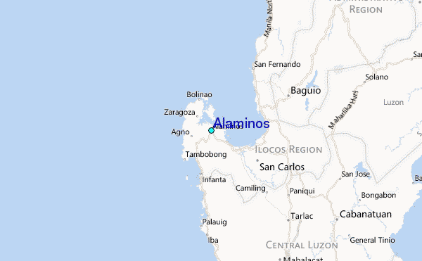