
| Distance / Altitude | Location | Report Date / Time | Live Weather | Wind | Gusts | Temp. | Visibility | Cloud |
|---|---|---|---|---|---|---|---|---|
| 4 km W / 271 m | São Tomé International Airport (Sao Tome/principe) | 2024-04-28 20:00 local (2024/04/28 20:00 GMT) | - | light winds from the SSW (7 km/h at 210) | 29°C | 10.0 | few | |
| 251 km ESE / 33 m | Port Gentil (Gabon) | 2024-04-28 19:00 local (2024/04/28 19:00 GMT) | lightning visible, no thunder heard | light winds from the S (19 km/h at 180) | 29°C | 10 | scattered scattered - | |
| 297 km E / 218 m | Libreville/Leon M'Ba Airport (Gabon) | 2024-04-28 19:00 local (2024/04/28 19:00 GMT) | light to moderate thunderstorm | light winds from the S (11 km/h at 180) | 25°C | 6 | few few - | |
| 380 km ENE / 554 m | Bata Airport (Equatorial Guinea) | 2024-04-28 19:00 local (2024/04/28 19:00 GMT) | Thunderstorm - | light winds from the SSE (11 km/h at 160) | 29°C | 10.0 | scattered few | |
| 440 km NNE / 611 m | Malabo/Fernando Poo Airport (Equatorial Guinea) | 2024-04-28 19:00 local (2024/04/28 19:00 GMT) | - | light winds from the WSW (9 km/h at 240) | 28°C | 10.0 | few |
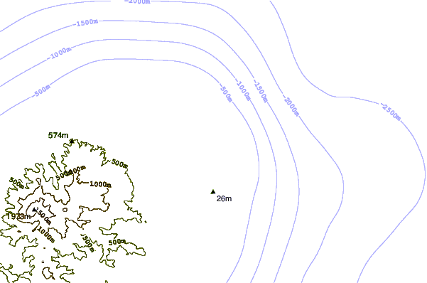
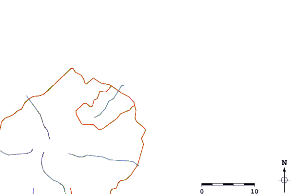
| Contours: | Roads & Rivers: | Select a
tide station / surf break / city |
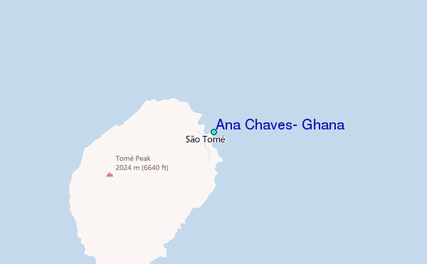
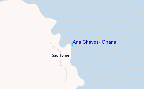
Use this relief map to navigate to tide stations, surf breaks and cities that are in the area of Ana Chaves, Ghana.
Other Nearby Locations' tide tables and tide charts to Ana Chaves, Ghana:
click location name for more details
 Surf breaks close to Ana Chaves, Ghana:
|
||
|---|---|---|
| Closest surf break | Cap Lopez | 151 mi |
| Second closest surf break | Palplanche | 151 mi |
| Third closest surf break | Ferme aux Cochons | 154 mi |
| Fourth closest surf break | PG2 | 155 mi |
| Fifth closest surf break | Plage du Dahu | 157 mi |

 Nearest
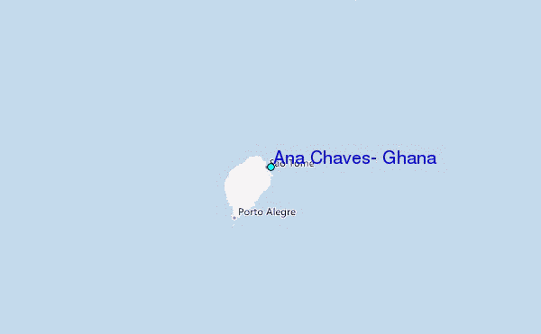