
| Distance / Altitude | Location | Report Date / Time | Live Weather | Wind | Gusts | Temp. | Visibility | Cloud |
|---|---|---|---|---|---|---|---|---|
| 97 km NNE / 195 m | Tamatave/Toamasina Airport (Comoros) | 2024-04-27 21:00 local (2024/04/27 18:00 GMT) | Shower - in the vicinity | light winds from the W (6 km/h at 280) | 24°C | 10.0 | few scattered | |
| 98 km NNE / 6 m | Tamatave/Toamasina Airport (Madagascar) | 2024-04-27 21:00 local (2024/04/27 18:00 GMT) | Distant precipitation but not falling at station | calm (4 km/h at 280) | 24°C | 40 km | - scattered - | |
| 171 km WSW / 1276 m | Antananarivo/Ivato Airport (Madagascar) | 2024-04-27 21:00 local (2024/04/27 18:00 GMT) | Clouds dissolving | light winds from the SE (11 km/h at 140) | 20°C | 40 km | mostly cloudy | |
| 173 km WSW / 1388 m | Antananarivo/Ivato Airport (Comoros) | 2024-04-27 21:30 local (2024/04/27 18:30 GMT) | Dry and partly cloudy | light winds from the ENE.(Wind varies from 050 to 120 degs) (7 km/h at 70) | 19°C | 10.0 | few broken | |
| 466 km WNW / 18 m | Majunga/Mahajanga Airport (Madagascar) | 2024-04-27 21:00 local (2024/04/27 18:00 GMT) | - | light winds from the W (7 km/h at 260) | 29°C | 50 km | - scattered - |
| Contours: | Roads & Rivers: | Select a
tide station / surf break / city |
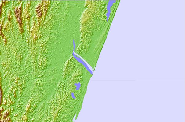
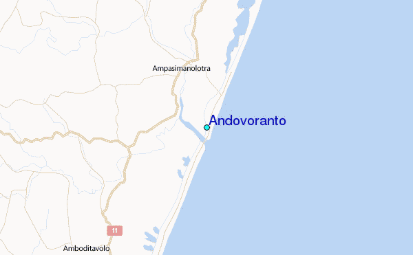
Use this relief map to navigate to tide stations, surf breaks and cities that are in the area of Andovoranto.
Other Nearby Locations' tide tables and tide charts to Andovoranto:
click location name for more details
 Surf breaks close to Andovoranto:
|
||
|---|---|---|
| Closest surf break | Manafiafy | 421 mi |
| Second closest surf break | Cap Howard | 423 mi |
| Third closest surf break | Les Aigrettes Lefts | 423 mi |
| Fourth closest surf break | Les Aigrettes Right | 423 mi |
| Fifth closest surf break | Black Rocks Jetty | 423 mi |

 Nearest
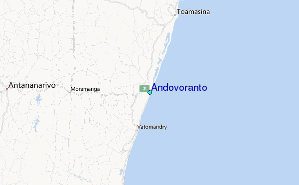