
| Distance / Altitude | Location | Report Date / Time | Live Weather | Wind | Gusts | Temp. | Visibility | Cloud |
|---|---|---|---|---|---|---|---|---|
| 14 km SE / 3 m | Milford Aero Automatic Weather Station (New Zealand) | 2024-05-03 20:00 local (2024/05/03 08:00 GMT) | Clear skies | light winds from the ESE (13 km/h at 110) | 8°C | 20 km | - no observation - | |
| 14 km SE / 3 m | Milford Sound Airport Automatic Weather Station (New Zealand) | 2024-05-03 20:00 local (2024/05/03 08:00 GMT) | Clear skies | light winds from the ESE (13 km/h at 110) | 8°C | 20 km | no observation | |
| 57 km SE / 370 m | Glenorchy (New Zealand) | 2024-05-03 20:00 local (2024/05/03 08:00 GMT) | - | calm (4 km/h at 72) | 5°C | - | - - 0 | |
| 83 km ESE / 1620 m | Coronet Peak Tandems (New Zealand) | 2024-05-03 20:00 local (2024/05/03 08:00 GMT) | - | light winds from the WNW (17 km/h at 288) | 5°C | - | - - 0 | |
| 83 km ESE / 1500 m | Coronet Peak Summit (New Zealand) | 2024-05-03 20:00 local (2024/05/03 08:00 GMT) | - | light winds from the W (19 km/h at 278) | 3°C | - | - - 0 |
| Contours: | Roads & Rivers: | Select a
tide station / surf break / city |
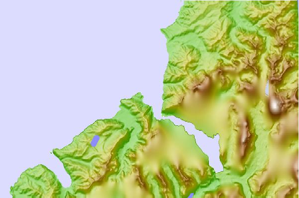
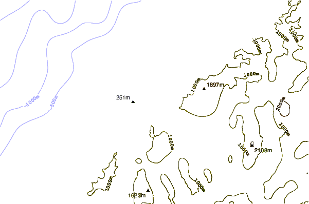
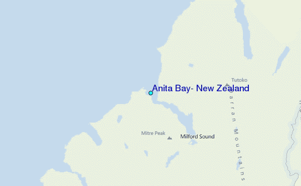
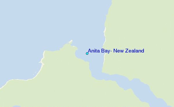
Use this relief map to navigate to tide stations, surf breaks and cities that are in the area of Anita Bay, New Zealand.
Other Nearby Locations' tide tables and tide charts to Anita Bay, New Zealand:
click location name for more details
 Surf breaks close to Anita Bay, New Zealand:
|
||
|---|---|---|
| Closest surf break | Smoothwater Bay | 57 mi |
| Second closest surf break | Haast Beach | 78 mi |
| Third closest surf break | Bluecliffs | 110 mi |
| Fourth closest surf break | Lake Pukaki Point | 119 mi |
| Fifth closest surf break | Frentzes | 119 mi |

 Nearest
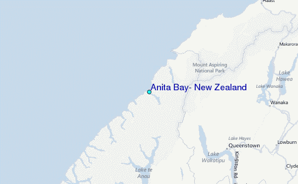