
| Distance / Altitude | Location | Report Date / Time | Live Weather | Wind | Gusts | Temp. | Visibility | Cloud |
|---|---|---|---|---|---|---|---|---|
| 18 km SSE / 22 m | Blanchet wx (Guadeloupe) | 2024-05-06 21:29 local (2024/05/07 01:29 GMT) | - | calm (0 km/h at 46) | 27°C | - | - - 0 | |
| 22 km S / 215 m | Le Raizet Airport (Lesser Antilles) | 2024-05-06 20:30 local (2024/05/07 00:30 GMT) | Dry and partly cloudy | light winds from the ENE (9 km/h at 70) | 28°C | 10.0 | scattered scattered | |
| 23 km S / 9 m | Pointe-à-Pitre International Airport (Guadeloupe, Saint Martin, Saint Barthelemy and other French islands in the vicinity) | 2024-05-06 20:00 local (2024/05/07 00:00 GMT) | no report | calm (0 km/h at 280) | 29°C | - | - | |
| 76 km NW / 6 m | Renfrew (Antigua and Barbuda) | 2024-05-06 21:40 local (2024/05/07 01:40 GMT) | dry | calm (2 km/h at 214) | 27°C | - | - - 0 | |
| 78 km NW / 10 m | VCBirdInt l Airport Antigua (Antigua and Barbuda) | 2024-05-06 21:00 local (2024/05/07 01:00 GMT) | Widespread dust in suspension not raised by wind | light winds from the ENE (11 km/h at 70) | 27°C | 48 km | - mostly cloudy - |
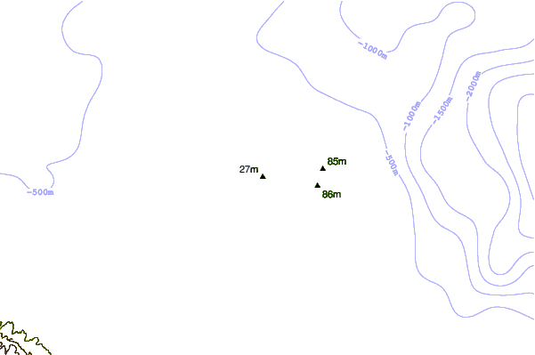
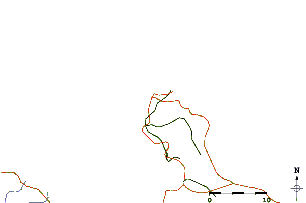
| Contours: | Roads & Rivers: | Select a
tide station / surf break / city |
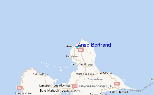
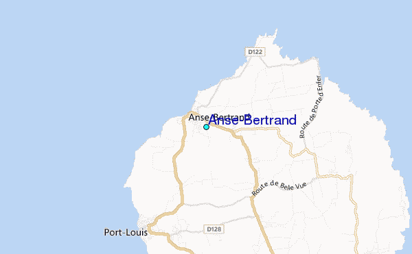
Use this relief map to navigate to tide stations, surf breaks and cities that are in the area of Anse-Bertrand.
Other Nearby Locations' tide tables and tide charts to Anse-Bertrand:
click location name for more details
 Surf breaks close to Anse-Bertrand:
|
||
|---|---|---|
| Closest surf break | Anse Bertrand | 1 mi |
| Second closest surf break | L'Abbatoir | 1 mi |
| Third closest surf break | Plombier | 1 mi |
| Fourth closest surf break | Antigues Cape | 4 mi |
| Fifth closest surf break | Port Louis | 4 mi |

 Nearest
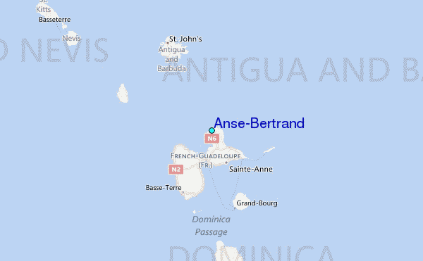