
| Distance / Altitude | Location | Report Date / Time | Live Weather | Wind | Gusts | Temp. | Visibility | Cloud |
|---|---|---|---|---|---|---|---|---|
| 74 km SE / 15 m | ASCATC121E6N (Marine) | 2024-05-02 09:41 local (2024/05/02 01:41 GMT) | light winds from the ESE (12 km/h at 115) | — | - km | |||
| 85 km SE / 15 m | ASCATC122E6N (Marine) | 2024-05-02 09:41 local (2024/05/02 01:41 GMT) | light winds from the ESE (13 km/h at 118) | — | - km | |||
| 151 km NE / 417 m | Zamboanga Airport (Philippines) | 2024-05-02 11:00 local (2024/05/02 03:00 GMT) | Haze | light winds from the WSW (11 km/h at 240) | 34°C | 30 km | few scattered - | |
| 165 km SSE / 15 m | ASCATC122E5N (Marine) | 2024-05-02 09:41 local (2024/05/02 01:41 GMT) | light winds from the E (18 km/h at 96) | — | - km | |||
| 168 km S / 15 m | ASCATC121E5N (Marine) | 2024-05-02 09:41 local (2024/05/02 01:41 GMT) | light winds from the E (16 km/h at 94) | — | - km |
| Contours: | Roads & Rivers: | Select a
tide station / surf break / city |
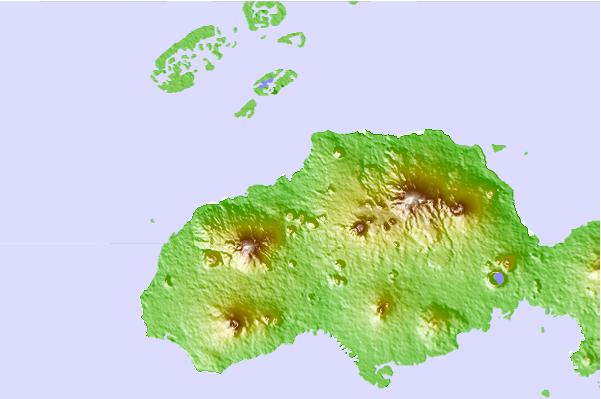
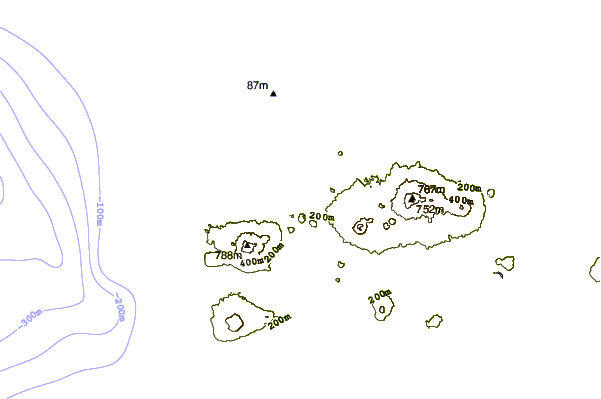
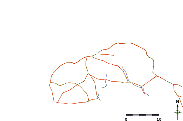
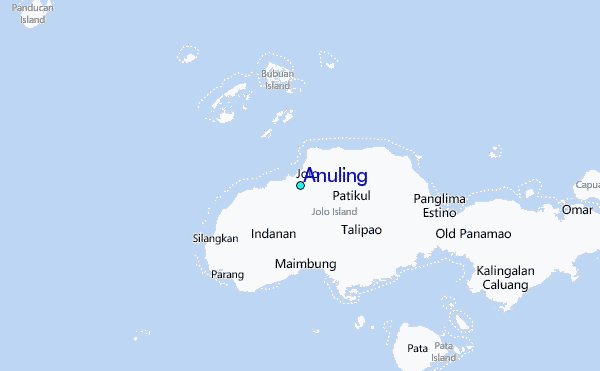
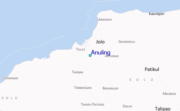
Use this relief map to navigate to tide stations, surf breaks and cities that are in the area of Anuling.
Other Nearby Locations' tide tables and tide charts to Anuling:
click location name for more details
 Surf breaks close to Anuling:
|
||
|---|---|---|
| Closest surf break | Kudat (Pantai Kosuhui) | 301 mi |
| Second closest surf break | Kota Belud | 316 mi |
| Third closest surf break | Shabandar | 333 mi |
| Fourth closest surf break | Nexus | 337 mi |
| Fifth closest surf break | Nexus West End | 337 mi |

 Nearest
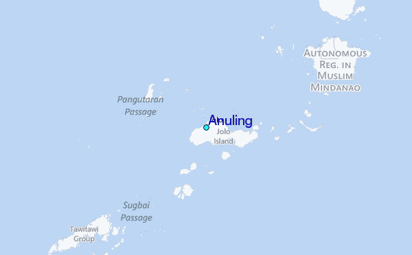