
| Distance / Altitude | Location | Report Date / Time | Live Weather | Wind | Gusts | Temp. | Visibility | Cloud |
|---|---|---|---|---|---|---|---|---|
| 106 km ESE / 3 m | Taro Island (Solomon Islands) | 2024-04-30 16:00 local (2024/04/30 06:00 GMT) | distant precipitation but not falling at station | light winds from the E (11 km/h at 90) | 32°C | 20 | - | |
| 302 km SE / 6 m | Munda-New Georgia (Solomon Islands) | 2024-04-30 16:00 local (2024/04/30 06:00 GMT) | distant precipitation but not falling at station | light winds from the ENE (11 km/h at 70) | 31°C | 20 | - | |
| 417 km SE / 2 m | Penrhyn Island (Samoa) | 2024-04-30 15:00 local (2024/04/30 05:00 GMT) | - | light winds from the N (13 km/h at 10) | 27°C | |||
| 538 km SW / 15 m | SHIP1688 (Marine) | 2024-04-30 16:00 local (2024/04/30 06:00 GMT) | - (- km/h at -) | — | - km | |||
| 610 km SE / 484 m | Honiara/Henderson Airport (Solomon Islands) | 2024-04-30 16:00 local (2024/04/30 06:00 GMT) | light rain showers | light winds from the S (6 km/h at 180) | 30°C | 4000 | few few scattered |
| Contours: | Roads & Rivers: | Select a
tide station / surf break / city |
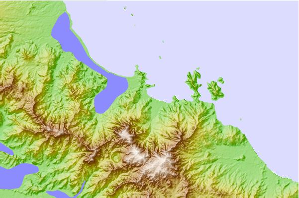
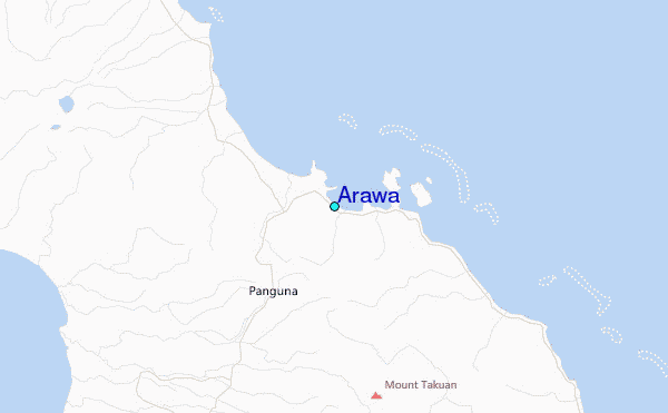
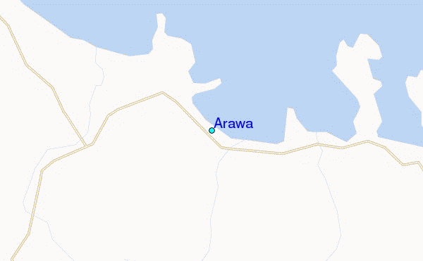
Use this relief map to navigate to tide stations, surf breaks and cities that are in the area of Arawa.
Other Nearby Locations' tide tables and tide charts to Arawa:
click location name for more details
 Surf breaks close to Arawa:
|
||
|---|---|---|
| Closest surf break | Pailongge | 155 mi |
| Second closest surf break | Titiana | 157 mi |
| Third closest surf break | Makuti | 165 mi |
| Fourth closest surf break | Despretes | 180 mi |
| Fifth closest surf break | Skull Island | 183 mi |

 Nearest
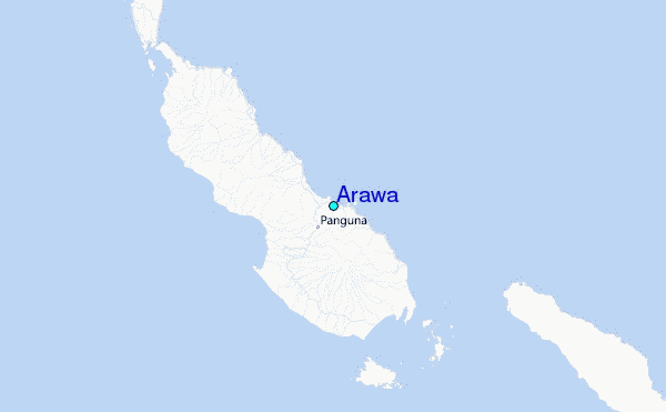