
| Distance / Altitude | Location | Report Date / Time | Live Weather | Wind | Gusts | Temp. | Visibility | Cloud |
|---|---|---|---|---|---|---|---|---|
| 15 km NW / 23 m | Pangnirtung-NU (Canada) | 2024-04-29 21:00 local (2024/04/30 01:00 GMT) | no report | moderate winds from the WSW (22 km/h at 240) | -12°C | - | - no observation - | |
| 185 km NNE / 6 m | Qikiqtarjuaq Airport (Canada) | 2024-04-29 22:00 local (2024/04/30 02:00 GMT) | no report | calm (0 km/h at 350) | -10°C | - | - - - | |
| 188 km NNE / 707 m | Broughton Island Airport (N.w. Territories) | 2024-04-29 21:42 local (2024/04/30 01:42 GMT) | Light snow | calm (0 km/h at 0) | -10°C | 14 | overcast | |
| 287 km S / 217 m | Frobisher/Iqaluit Airport (N.w. Territories) | 2024-04-29 21:42 local (2024/04/30 01:42 GMT) | no report | light winds from the WNW (7 km/h at 300) | -8°C | 48 | overcast - - | |
| 288 km S / 34 m | Iqaluit (Canada) | 2024-04-29 22:00 local (2024/04/30 02:00 GMT) | no report | light winds from the WNW (7 km/h at 300) | -8°C | - | - |
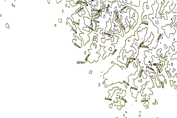
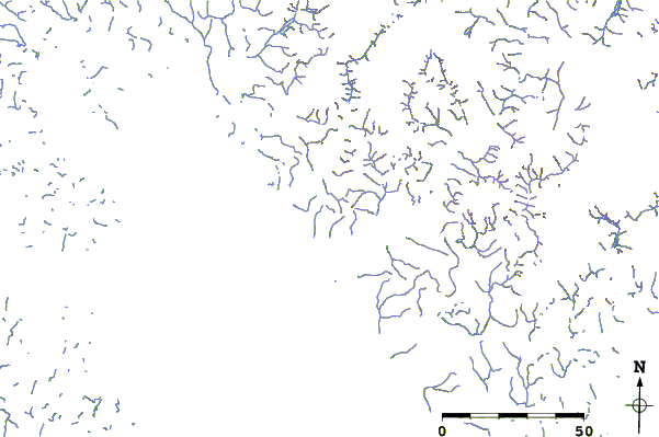
| Contours: | Roads & Rivers: | Select a
tide station / surf break / city |
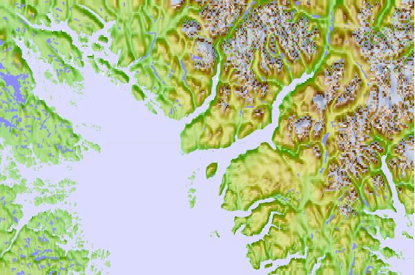
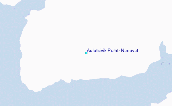
Use this relief map to navigate to tide stations, surf breaks and cities that are in the area of Aulatsivik Point, Nunavut.
Other Nearby Locations' tide tables and tide charts to Aulatsivik Point, Nunavut:
click location name for more details
 Surf breaks close to Aulatsivik Point, Nunavut:
|
||
|---|---|---|
| Closest surf break | Garur | 1235 mi |
| Second closest surf break | Hafnir | 1239 mi |
| Third closest surf break | Sandvik | 1245 mi |
| Fourth closest surf break | Grindavik Antenas | 1249 mi |
| Fifth closest surf break | Grindavik Lighthouse ( Hopsnesta) | 1250 mi |

 Nearest
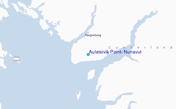