
| Distance / Altitude | Location | Report Date / Time | Live Weather | Wind | Gusts | Temp. | Visibility | Cloud |
|---|---|---|---|---|---|---|---|---|
| 52 km E / 9 m | Takoradi (afb) (Ghana) | 2024-04-28 14:00 local (2024/04/28 14:00 GMT) | - | moderate winds from the SW (20 km/h at 230) | 33°C | 10.0 | few | |
| 52 km E / 5 m | Takoradi (Ghana) | 2024-04-28 15:00 local (2024/04/28 15:00 GMT) | - | light winds from the SW (17 km/h at 230) | 33°C | 35 km | mostly cloudy | |
| 191 km W / 218 m | Abidjan Port Bou Airport (Cote D'ivoire) | 2024-04-28 14:30 local (2024/04/28 14:30 GMT) | Dry and partly cloudy | moderate winds from the WSW (20 km/h at 240) | 32°C | 10.0 | scattered | |
| 217 km ENE / 74 m | Adeiso-Ndoda (Ghana) | 2024-04-28 15:00 local (2024/04/28 15:00 GMT) | - | light winds from the SW (19 km/h at 230) | 33°C | - | - - 0 | |
| 242 km ENE / 197 m | Accra/Kotoka International Airport (Ghana) | 2024-04-28 14:00 local (2024/04/28 14:00 GMT) | - | moderate winds from the SSW (24 km/h at 200) | 33°C | 10.0 | few |
| Contours: | Roads & Rivers: | Select a
tide station / surf break / city |
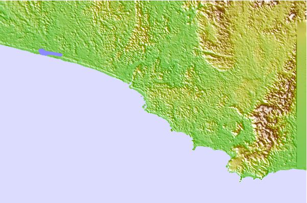
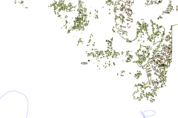
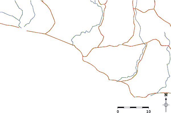
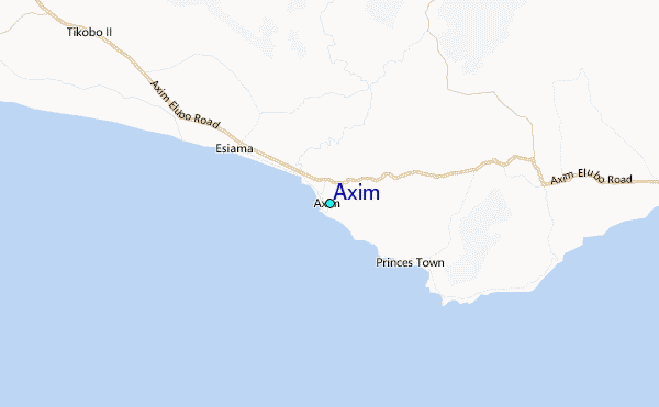
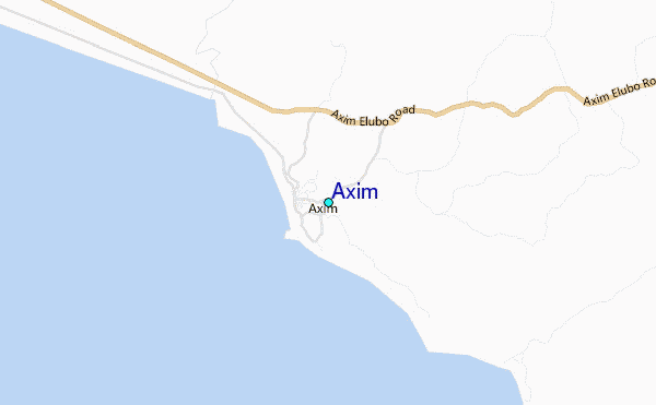
Use this relief map to navigate to tide stations, surf breaks and cities that are in the area of Axim.
Other Nearby Locations' tide tables and tide charts to Axim:
click location name for more details
 Surf breaks close to Axim:
|
||
|---|---|---|
| Closest surf break | Axim | 1 mi |
| Second closest surf break | Turtle Beach | 1 mi |
| Third closest surf break | Miemia | 7 mi |
| Fourth closest surf break | Mutrakni Point | 7 mi |
| Fifth closest surf break | Princes Town | 10 mi |

 Nearest
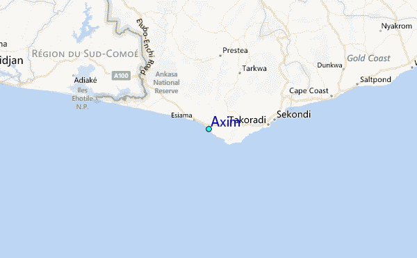