
| Distance / Altitude | Location | Report Date / Time | Live Weather | Wind | Gusts | Temp. | Visibility | Cloud |
|---|---|---|---|---|---|---|---|---|
| 4 km S / 169 m | Queen Beatrix Airport (Lesser Antilles) | 2024-04-28 03:00 local (2024/04/28 07:00 GMT) | - | moderate winds from the E (20 km/h at 80) | 28°C | 10.0 | few | |
| 116 km ESE / 187 m | Hato Air Curacao Airport (Virgin Islands) | 2024-04-28 03:00 local (2024/04/28 07:00 GMT) | Dry and partly cloudy | light winds from the ESE (9 km/h at 120) | 27°C | 10.0 | scattered | |
| 116 km ESE / 0 m | HatoAirport-Curacao (78988 -1) (Curacao) | 2024-04-28 04:00 local (2024/04/28 08:00 GMT) | - | light winds from the ESE (9 km/h at 120) | 27°C | 50 km | scattered | |
| 190 km ESE / 175 m | Bonaire/Flamingo Airport (Lesser Antilles) | 2024-04-28 02:55 local (2024/04/28 06:55 GMT) | Dry and partly cloudy | light winds from the E (15 km/h at 80) | 27°C | 10.0 | no cloud | |
| 191 km ESE / 3 m | Flamingo Airport- Bonaire (Netherlands) | 2024-04-28 02:00 local (2024/04/28 06:00 GMT) | no report | light winds from the E (14 km/h at 80) | 27°C | 30 | - |
| Contours: | Roads & Rivers: | Select a
tide station / surf break / city |
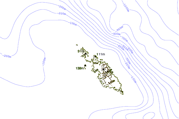
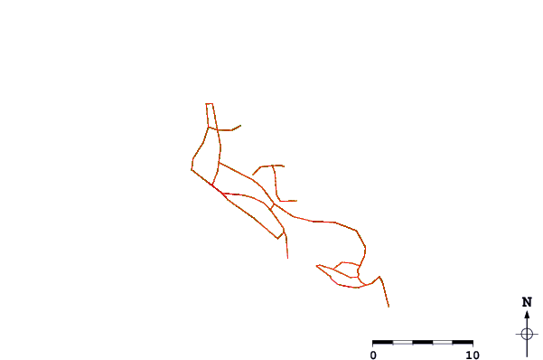
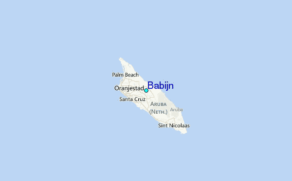
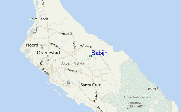
Use this relief map to navigate to tide stations, surf breaks and cities that are in the area of Babijn.
Other Nearby Locations' tide tables and tide charts to Babijn:
click location name for more details
 Surf breaks close to Babijn:
|
||
|---|---|---|
| Closest surf break | Andicuri | 2 mi |
| Second closest surf break | Shark Bay | 2 mi |
| Third closest surf break | Wariruri | 2 mi |
| Fourth closest surf break | Urirama | 4 mi |
| Fifth closest surf break | Dos Playa | 5 mi |

 Nearest
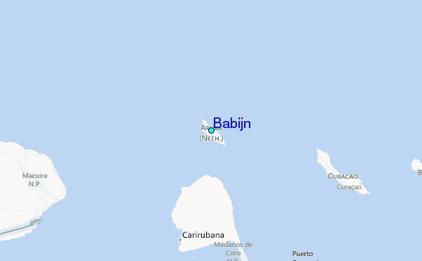