
| Distance / Altitude | Location | Report Date / Time | Live Weather | Wind | Gusts | Temp. | Visibility | Cloud |
|---|---|---|---|---|---|---|---|---|
| 100 km SE / 339 m | Puvirnituq Airport (Quebec) | 2024-04-28 19:14 local (2024/04/28 23:14 GMT) | Light snow | moderate winds from the W (26 km/h at 270) | -9°C | 10 | overcast | |
| 257 km S / 1 m | Inukjuak Ua- Que (Canada) | 2024-04-28 19:38 local (2024/04/28 23:38 GMT) | Dry and partly cloudy | moderate winds from the NW (28 km/h at 310) | -7°C | 14 | scattered - - | |
| 258 km ENE / 503 m | Parc National Des Pingualuit- Que (Canada) | 2024-04-28 19:00 local (2024/04/28 23:00 GMT) | no report | fresh winds from the W (32 km/h at 260) | -13°C | - | - | |
| 396 km NNE / 217 m | Cape Dorset Airport (N.w. Territories) | 2024-04-28 19:00 local (2024/04/28 23:00 GMT) | Dry and cloudy | fresh winds from the W (30 km/h at 260) | -12°C | 14 | overcast | |
| 397 km NNE / 50 m | Cape Dorset Climate- NU (Canada) | 2024-04-28 19:00 local (2024/04/28 23:00 GMT) | no report | moderate winds from the W (25 km/h at 260) | -12°C | - | - - - |
| Contours: | Roads & Rivers: | Select a
tide station / surf break / city |
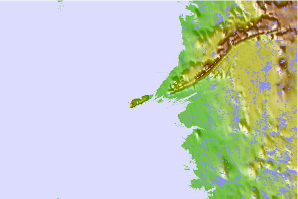
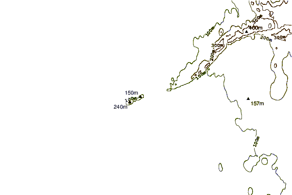
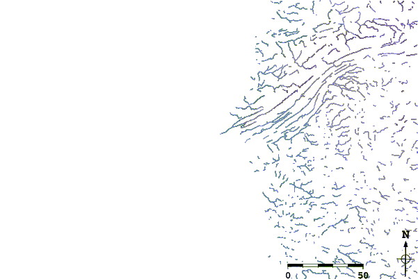
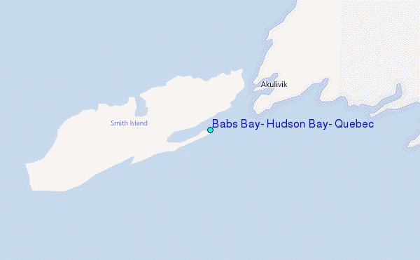
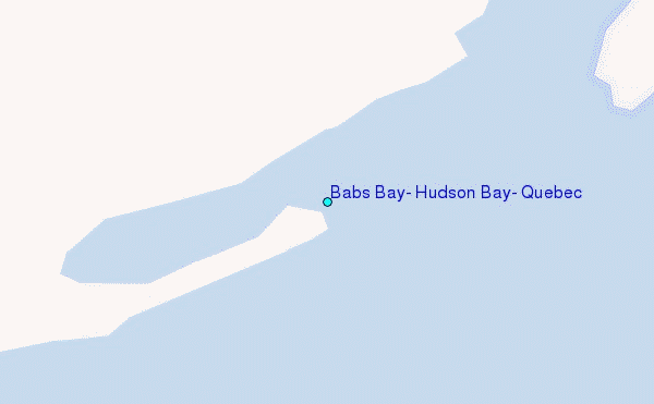
Use this relief map to navigate to tide stations, surf breaks and cities that are in the area of Babs Bay, Hudson Bay, Quebec.
Other Nearby Locations' tide tables and tide charts to Babs Bay, Hudson Bay, Quebec:
click location name for more details
 Surf breaks close to Babs Bay, Hudson Bay, Quebec:
|
||
|---|---|---|
| Closest surf break | Marathon | 892 mi |
| Second closest surf break | Alona Bay | 975 mi |
| Third closest surf break | Keweenaw Peninsula | 1001 mi |
| Fourth closest surf break | Au Sable Point | 1024 mi |
| Fifth closest surf break | Grand Marias | 1024 mi |

 Nearest
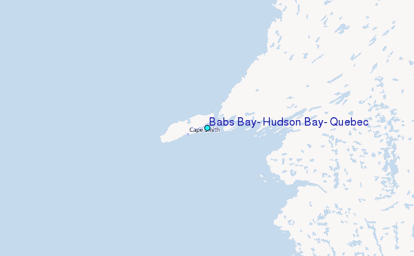