
| Distance / Altitude | Location | Report Date / Time | Live Weather | Wind | Gusts | Temp. | Visibility | Cloud |
|---|---|---|---|---|---|---|---|---|
| 274 km NNE / 5 m | Mombasa International Airport (Kenya) | 2024-04-28 01:00 local (2024/04/27 22:00 GMT) | no report | light winds from the SSW (9 km/h at 210) | 26°C | 50 km | - few - | |
| 279 km NNE / 179 m | Mombasa/Moi International Airport (Kenya) | 2024-04-28 01:00 local (2024/04/27 22:00 GMT) | - | light winds from the SW (9 km/h at 230) | 26°C | 10.0 | few | |
| 279 km NNE / 179 m | Mombasa-Moi International Airport (Kenya) | 2024-04-28 01:00 local (2024/04/27 22:00 GMT) | - | light winds from the SW (9 km/h at 230) | 26°C | 10.0 | few | |
| 338 km N / 87 m | Voi (Kenya) | 2024-04-28 00:00 local (2024/04/27 21:00 GMT) | - | light winds from the WSW (19 km/h at 240) | 24°C | 50 km | mostly cloudy | |
| 386 km NW / 922 m | NEI Plantation (Tanzania) | 2024-04-28 02:00 local (2024/04/27 23:00 GMT) | - | calm (4 km/h at 91) | 20°C | - | - - 0 |
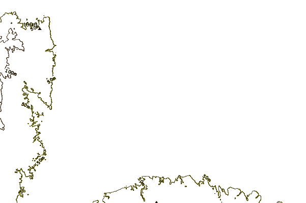
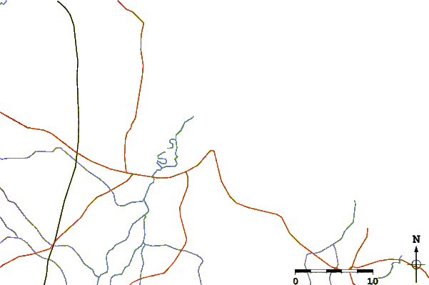
| Contours: | Roads & Rivers: | Select a
tide station / surf break / city |
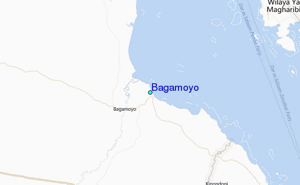
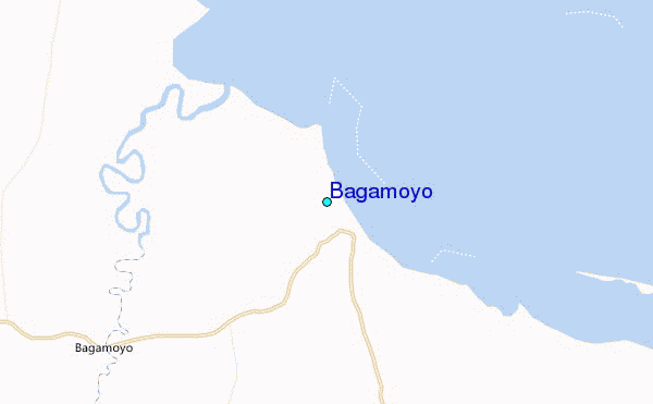
Use this relief map to navigate to tide stations, surf breaks and cities that are in the area of Bagamoyo.
Other Nearby Locations' tide tables and tide charts to Bagamoyo:
click location name for more details
 Surf breaks close to Bagamoyo:
|
||
|---|---|---|
| Closest surf break | Jam's Right | 32 mi |
| Second closest surf break | Sea Cliff | 34 mi |
| Third closest surf break | Oyster Bay Beach - Coco Beach | 35 mi |
| Fourth closest surf break | Nungwi Reefs | 57 mi |
| Fifth closest surf break | Mombasa Channel | 171 mi |

 Nearest
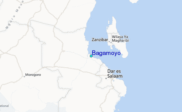