
| Distance / Altitude | Location | Report Date / Time | Live Weather | Wind | Gusts | Temp. | Visibility | Cloud |
|---|---|---|---|---|---|---|---|---|
| 113 km SW / 293 m | Davao/Francisco Bangoy International Airport (Philippines) | 2024-05-03 01:00 local (2024/05/02 17:00 GMT) | Dry and partly cloudy | light winds from the N.(Wind varies from 300 to 070 degs) (7 km/h at 350) | 27°C | 10.0 | few scattered broken | |
| 250 km N / 20 m | BRAVO SIARGAO (Philippines) | 2024-05-03 02:00 local (2024/05/02 18:00 GMT) | - | light winds from the ENE (19 km/h at 65) | 28°C | - | - - 0 | |
| 342 km NW / 212 m | Maasin (Philippines) | 2024-05-03 00:00 local (2024/05/02 16:00 GMT) | haze | light winds from the SW (14 km/h at 220) | 28°C | 20 | - - - | |
| 395 km NW / 214 m | Guiuan (Samar Island) (Philippines) | 2024-05-03 00:00 local (2024/05/02 16:00 GMT) | light rain showers | light winds from the NE (14 km/h at 40) | 27°C | 14 | - - - | |
| 407 km W / 8 m | Dumaguete (Philippines) | 2024-05-03 02:00 local (2024/05/02 18:00 GMT) | no report | light winds from the N (11 km/h at 360) | 27°C | 10.0 | few - - |
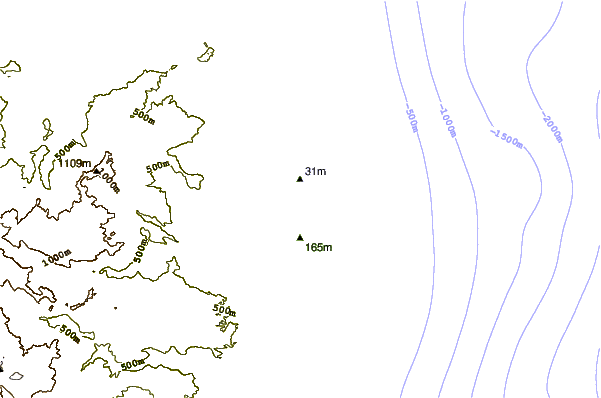
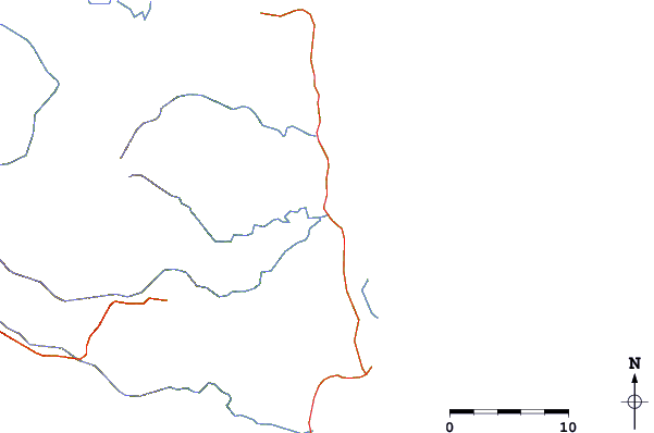
| Contours: | Roads & Rivers: | Select a
tide station / surf break / city |

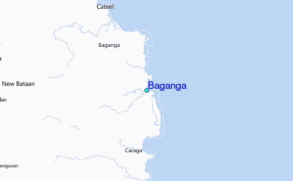
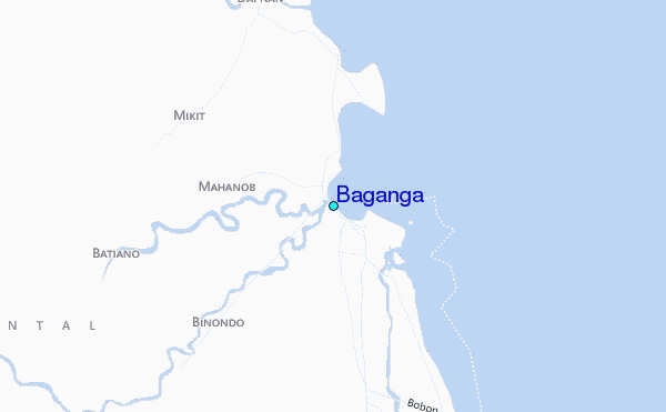
Use this relief map to navigate to tide stations, surf breaks and cities that are in the area of Baganga.
Other Nearby Locations' tide tables and tide charts to Baganga:
click location name for more details
 Surf breaks close to Baganga:
|
||
|---|---|---|
| Closest surf break | Tago River | 101 mi |
| Second closest surf break | Marami Beach | 109 mi |
| Third closest surf break | Big Star | 120 mi |
| Fourth closest surf break | Lanuza Rivermouth | 120 mi |
| Fifth closest surf break | Moshi-Moshi | 121 mi |

 Nearest
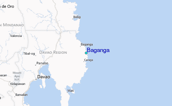