
| Distance / Altitude | Location | Report Date / Time | Live Weather | Wind | Gusts | Temp. | Visibility | Cloud |
|---|---|---|---|---|---|---|---|---|
| 115 km ESE / 7 m | Loreto Airport (Mexico) | 2024-04-27 01:00 local (2024/04/27 07:00 GMT) | no report | light winds from the SW (11 km/h at 230) | 21°C | 20 | - clear - | |
| 160 km SSE / 48 m | Ciudad Constitucion- Bcs (Mexico) | 2024-04-27 00:00 local (2024/04/27 06:00 GMT) | no report | moderate winds from the W (22 km/h at 280) | 20°C | 5 | - - - | |
| 252 km NE / 12 m | Empalme- Son. (Mexico) | 2024-04-27 01:00 local (2024/04/27 07:00 GMT) | no report | light winds from the SW (14 km/h at 220) | 26°C | 30 | - | |
| 278 km ESE / - m | SHIP6259 (ocean) | 2024-04-26 23:00 local (2024/04/27 05:00 GMT) | No report | light winds from the SSE (17 km/h at 160) | 23°C | - | no observation | |
| 280 km NNE / 34 m | Hermosillo (Mexico) | 2024-04-27 01:51 local (2024/04/27 07:51 GMT) | dry | calm (5 km/h at 157) | 16°C | - | - - 0 |
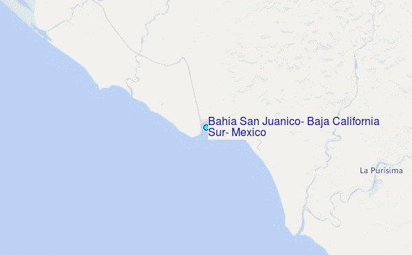
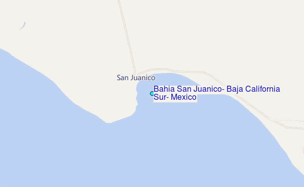
Choose Bahia San Juanico, Baja California Sur, Mexico Location Map Zoom:
| Contours: | Roads & Rivers: | Select a
tide station / surf break / city |
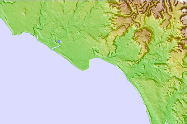
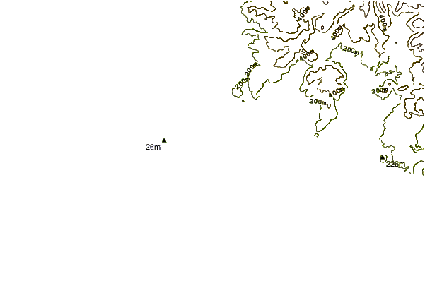
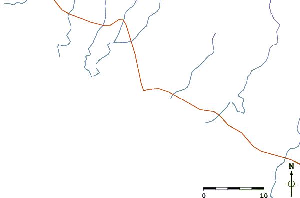
Use this relief map to navigate to tide stations, surf breaks and cities that are in the area of Bahia San Juanico, Baja California Sur, Mexico.
Other Nearby Locations' tide tables and tide charts to Bahia San Juanico, Baja California Sur, Mexico:
click location name for more details
 Surf breaks close to Bahia San Juanico, Baja California Sur, Mexico:
|
||
|---|---|---|
| Closest surf break | Scorpion Bay (San Juanico) | 2 mi |
| Second closest surf break | La Laguna | 7 mi |
| Third closest surf break | Punta Santo Domingo | 14 mi |
| Fourth closest surf break | Punta San Gregorio | 16 mi |
| Fifth closest surf break | Las Barrancas | 25 mi |

 Nearest
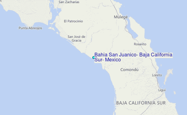