
| Distance / Altitude | Location | Report Date / Time | Live Weather | Wind | Gusts | Temp. | Visibility | Cloud |
|---|---|---|---|---|---|---|---|---|
| 39 km SE / 48 m | Puerto Obaldía wx (Panama) | 2024-04-27 13:47 local (2024/04/27 18:47 GMT) | - | light winds from the N (8 km/h at 5) | 28°C | - | - - 0 | |
| 55 km SSW / 67 m | Metetí wx (Panama) | 2024-04-27 14:42 local (2024/04/27 19:42 GMT) | - | light winds from the SW (10 km/h at 235) | 29°C | - | - - 0 | |
| 161 km S / 1 m | Jaqué wx (Panama) | 2024-04-27 15:01 local (2024/04/27 20:01 GMT) | dry | calm (3 km/h at 248) | 28°C | - | - - 0 | |
| 162 km SE / 20 m | ApartadoLosCedros (Colombia) | 2024-04-27 13:00 local (2024/04/27 18:00 GMT) | Haze | light winds from the NNW (11 km/h at 330) | 32°C | 35 km | - mostly cloudy - | |
| 164 km SE / 78 m | Apartadó-Antonio Roldán Betancourt Airport (Columbia) | 2024-04-27 14:00 local (2024/04/27 19:00 GMT) | Dry and partly cloudy | light winds from the N.(Wind varies from 280 to 360 degs) (17 km/h at 360) | 32°C | 10.0 | scattered |
| Contours: | Roads & Rivers: | Select a
tide station / surf break / city |
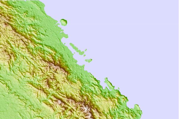
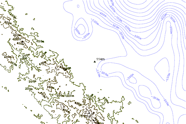
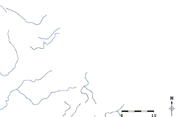
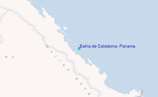
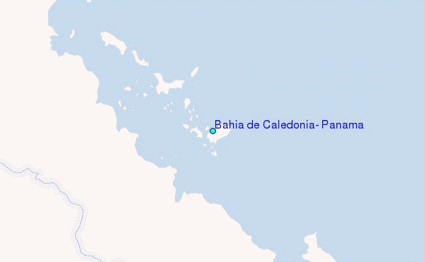
Use this relief map to navigate to tide stations, surf breaks and cities that are in the area of Bahía de Caledonia, Panama.
Other Nearby Locations' tide tables and tide charts to Bahia de Caledonia, Panama:
click location name for more details
 Surf breaks close to Bahia de Caledonia, Panama:
|
||
|---|---|---|
| Closest surf break | Colpipe | 108 mi |
| Second closest surf break | Miramar | 113 mi |
| Third closest surf break | Cuango | 121 mi |
| Fourth closest surf break | La Zurda | 124 mi |
| Fifth closest surf break | Nuevo Loco | 124 mi |

 Nearest
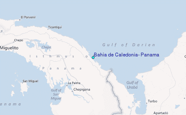