
| Distance / Altitude | Location | Report Date / Time | Live Weather | Wind | Gusts | Temp. | Visibility | Cloud |
|---|---|---|---|---|---|---|---|---|
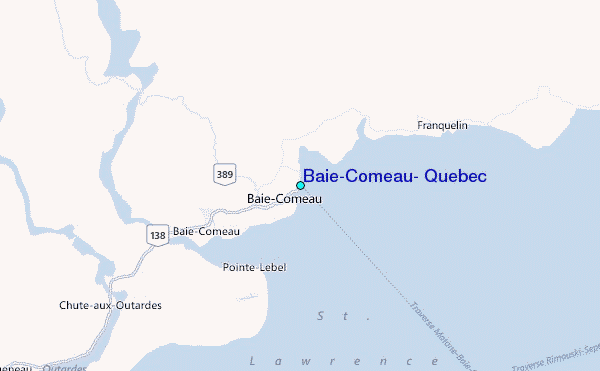
| 3 km NW / 130 m | Baie-Comeau-Que (71829 -0) (Canada) | 2024-04-28 11:00 local (2024/04/28 15:00 GMT) | - | light winds from the E (19 km/h at 80) | 4°C | - | no observation | |
| 12 km S / 22 m | Baie-Comeau-Que (71691 -0) (Canada) | 2024-04-28 11:00 local (2024/04/28 15:00 GMT) | Continuous light rain | light winds from the ESE (15 km/h at 110) | 5°C | 36 km | - overcast - | |
| 14 km S / 217 m | Baie Comeau Airport (Quebec) | 2024-04-28 10:18 local (2024/04/28 14:18 GMT) | Light rain | light winds from the ESE.(Wind varies from 030 to 140 degs) (11 km/h at 110) | 6°C | 14 | few overcast | |
| 38 km SSE / 15 m | SHIP4387 (Marine) | 2024-04-28 09:00 local (2024/04/28 13:00 GMT) | moderate winds from the SSE (25.92 km/h at 150) | — | - km | |||
| 56 km E / 195 m | Pointe Des Monts Airport (Quebec) | 2024-04-28 10:00 local (2024/04/28 14:00 GMT) | - | light winds from the NE (19 km/h at 50) | 4°C | 0.0 |
| Contours: | Roads & Rivers: | Select a
tide station / surf break / city |
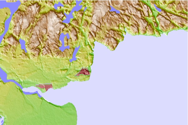
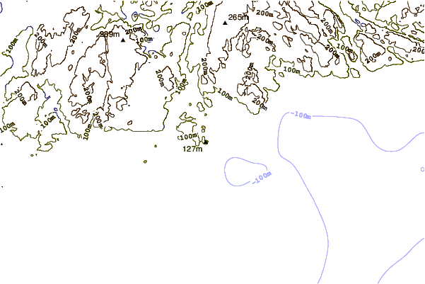
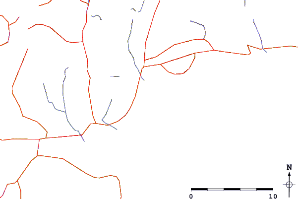
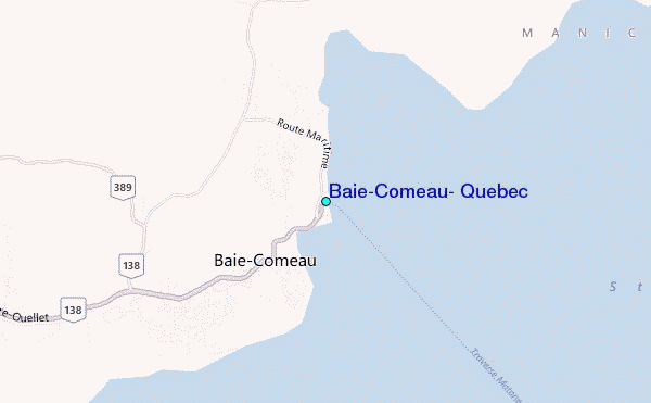
Use this relief map to navigate to tide stations, surf breaks and cities that are in the area of Baie-Comeau, Quebec.
Other Nearby Locations' tide tables and tide charts to Baie-Comeau, Quebec:
click location name for more details
 Surf breaks close to Baie-Comeau, Quebec:
|
||
|---|---|---|
| Closest surf break | Backyards | 388 mi |
| Second closest surf break | Minutes | 388 mi |
| Third closest surf break | Popham Read | 388 mi |
| Fourth closest surf break | Cow Bay | 389 mi |
| Fifth closest surf break | Hirtle's Beach (Hartling Bay) | 389 mi |

 Nearest
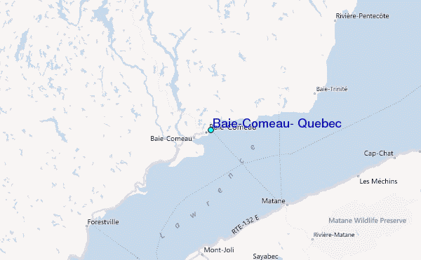