
| Distance / Altitude | Location | Report Date / Time | Live Weather | Wind | Gusts | Temp. | Visibility | Cloud |
|---|---|---|---|---|---|---|---|---|
| 6 km ESE / 37 m | LourdesDEBlanc Sablon A- Que (Canada) | 2024-04-29 03:00 local (2024/04/29 06:00 GMT) | no report | moderate winds from the E (24 km/h at 90) | 0°C | 44 km | - few - | |
| 7 km ESE / 216 m | Blanc Sablon Airport (Quebec) | 2024-04-29 02:00 local (2024/04/29 05:00 GMT) | - | light winds from the NE (19 km/h at 50) | 0°C | 24 | few few scattered | |
| 51 km SSE / 6 m | FerollePoint(Aut)- Nfld (Canada) | 2024-04-29 03:00 local (2024/04/29 06:00 GMT) | no report | light winds from the E (14 km/h at 90) | 2°C | - | - no observation - | |
| 51 km SSE / 216 m | Ferolle Point Airport (Newfoundland) | 2024-04-29 02:00 local (2024/04/29 05:00 GMT) | - | light winds from the E (13 km/h at 90) | 2°C | 0.0 | ||
| 82 km E / 29 m | ST Anthony- Nfld (Canada) | 2024-04-29 02:00 local (2024/04/29 05:00 GMT) | no report | - (- km/h at -) | 0°C | - | - |
| Contours: | Roads & Rivers: | Select a
tide station / surf break / city |
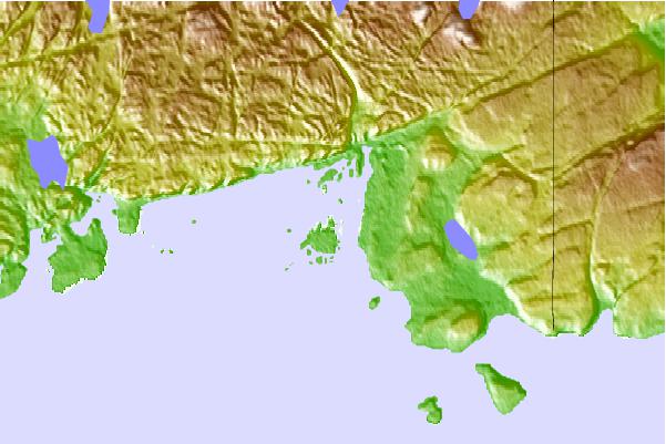
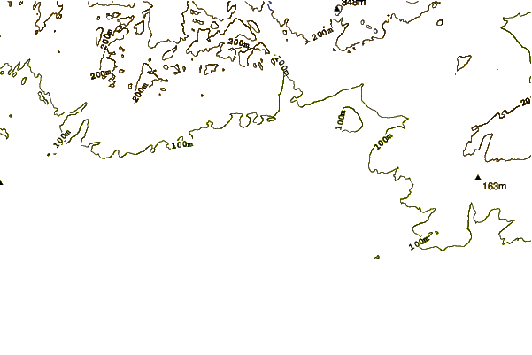
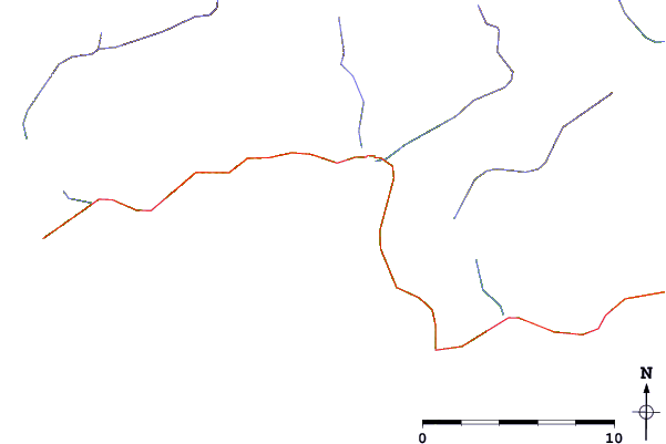
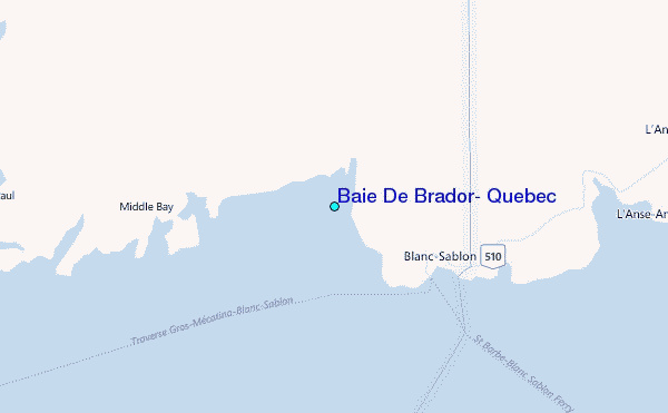
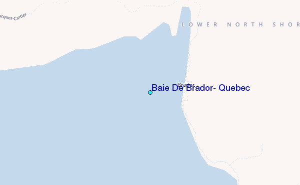
Use this relief map to navigate to tide stations, surf breaks and cities that are in the area of Baie De Brador, Quebec.
Other Nearby Locations' tide tables and tide charts to Baie De Brador, Quebec:
click location name for more details
 Surf breaks close to Baie De Brador, Quebec:
|
||
|---|---|---|
| Closest surf break | Ingonish Beach | 362 mi |
| Second closest surf break | Kennington Cove | 407 mi |
| Third closest surf break | Michaud Point | 437 mi |
| Fourth closest surf break | Martinique | 542 mi |
| Fifth closest surf break | Lawrencetown Left Point | 548 mi |

 Nearest
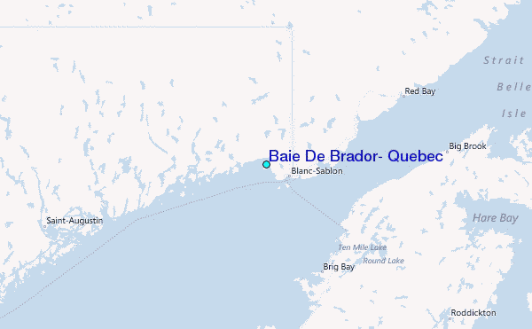