
| Distance / Altitude | Location | Report Date / Time | Live Weather | Wind | Gusts | Temp. | Visibility | Cloud |
|---|---|---|---|---|---|---|---|---|
| 5 km E / 215 m | Le Raizet Airport (Lesser Antilles) | 2024-04-29 12:30 local (2024/04/29 16:30 GMT) | - | moderate winds from the ENE (22 km/h at 60) | — | 10.0 | ||
| 7 km E / 8 m | LERaizetAero (France) | 2024-04-29 11:00 local (2024/04/29 15:00 GMT) | Clear skies | moderate winds from the NE (20 km/h at 50) | 28°C | 40 km | mostly cloudy | |
| 84 km SSE / 143 m | Canefield Airport (Dominica) | 2024-04-29 11:00 local (2024/04/29 15:00 GMT) | Distant precipitation but not falling at station | light winds from the S (6 km/h at 180) | 30°C | 46 km | - scattered - | |
| 86 km SSE / 429 m | Canefield Airport (Dominican Republic) | 2024-04-29 12:00 local (2024/04/29 16:00 GMT) | Dry and partly cloudy | calm (4 km/h at 270) | 30°C | 10.0 | broken | |
| 87 km WNW / 168 m | John Osborne Airport (Montserrat) | 2024-04-29 12:00 local (2024/04/29 16:00 GMT) | Shower - in the vicinity | light winds from the N (6 km/h at 1) | 25°C | 8.0 | scattered broken |
| Contours: | Roads & Rivers: | Select a
tide station / surf break / city |
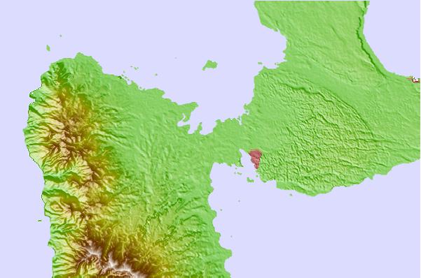
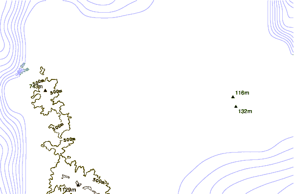
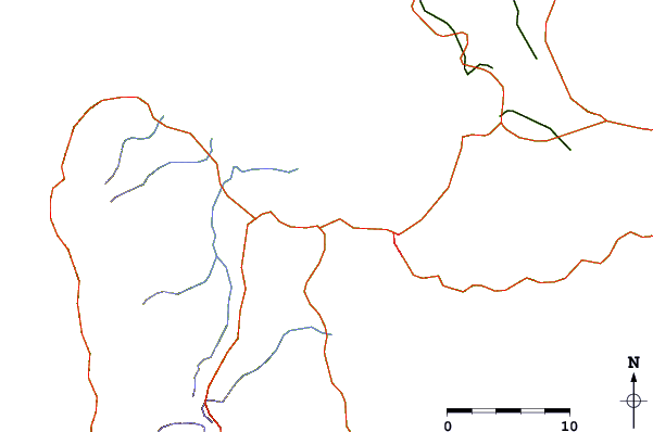
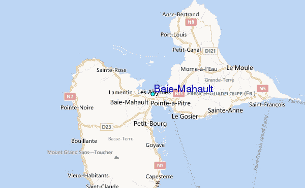
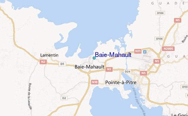
Use this relief map to navigate to tide stations, surf breaks and cities that are in the area of Baie-Mahault.
Other Nearby Locations' tide tables and tide charts to Baie-Mahault:
click location name for more details
 Surf breaks close to Baie-Mahault:
|
||
|---|---|---|
| Closest surf break | Hotel Novotel | 6 mi |
| Second closest surf break | Petit Havre | 11 mi |
| Third closest surf break | Antigues Cape | 12 mi |
| Fourth closest surf break | Port Louis | 12 mi |
| Fifth closest surf break | Caravelle | 13 mi |

 Nearest
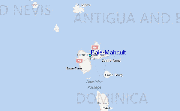