
| Distance / Altitude | Location | Report Date / Time | Live Weather | Wind | Gusts | Temp. | Visibility | Cloud |
|---|---|---|---|---|---|---|---|---|
| 23 km SSE / 4 m | Low Isles Lighthouse (Australia) | 2024-04-29 01:00 local (2024/04/28 15:00 GMT) | no report | - (- km/h at -) | 27°C | - | - - - | |
| 81 km SSE / 8 m | Cairns Airport (Australia) | 2024-04-29 01:00 local (2024/04/28 15:00 GMT) | Rain and snow or hail | moderate winds from the S (20 km/h at 180) | 24°C | - | - mostly cloudy - | |
| 87 km SSE / 12 m | Mooroobool (Åland) | 2024-04-29 02:14 local (2024/04/28 16:14 GMT) | dry | calm (0 km/h at ) | 22°C | - | - - 0 | |
| 88 km NW / 6 m | Cooktown Airport (Australia) | 2024-04-29 02:00 local (2024/04/28 16:00 GMT) | no report | moderate winds from the SE (22 km/h at 130) | 26°C | - | - no observation - | |
| 88 km SSE / 4 m | CairnsRacecourse (Australia) | 2024-04-29 01:00 local (2024/04/28 15:00 GMT) | Moderate to heavy rain showers | light winds from the S (9 km/h at 180) | 23°C | - | - mostly cloudy - |
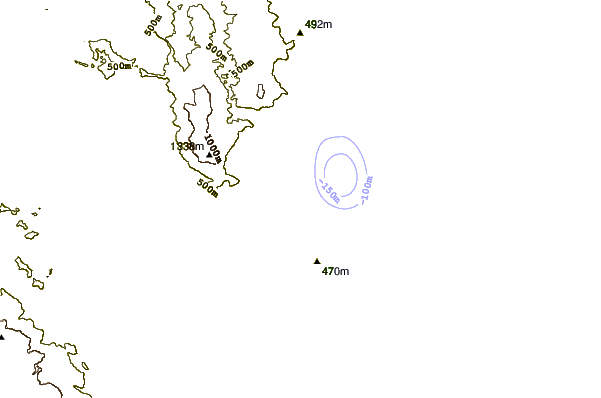
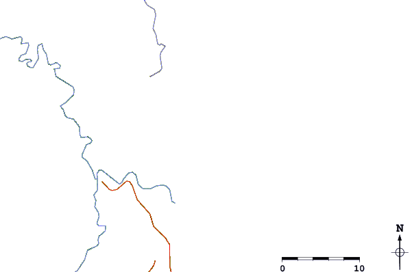
| Contours: | Roads & Rivers: | Select a
tide station / surf break / city |
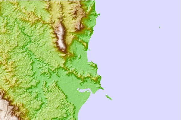
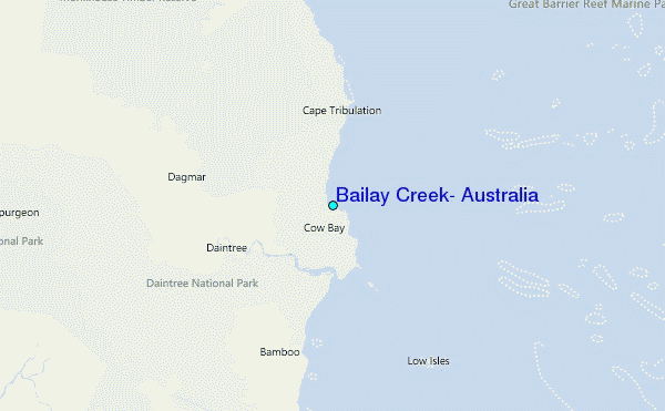
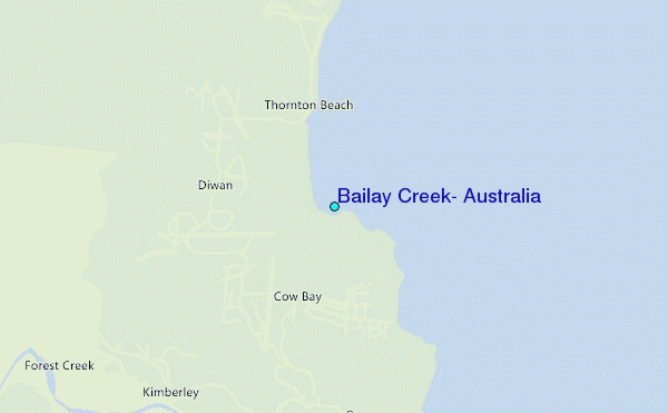
Use this relief map to navigate to tide stations, surf breaks and cities that are in the area of Bailay Creek, Australia.
Other Nearby Locations' tide tables and tide charts to Bailay Creek, Australia:
click location name for more details
 Surf breaks close to Bailay Creek, Australia:
|
||
|---|---|---|
| Closest surf break | Dolphin Heads | 414 mi |
| Second closest surf break | Eimeo Point | 414 mi |
| Third closest surf break | Lamberts Beach | 418 mi |
| Fourth closest surf break | North Wall Mackay Harbour Beach | 420 mi |
| Fifth closest surf break | South Wall Mackay Harbour | 420 mi |

 Nearest
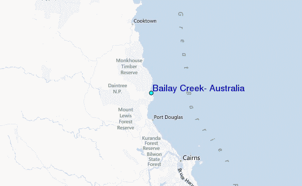