
| Distance / Altitude | Location | Report Date / Time | Live Weather | Wind | Gusts | Temp. | Visibility | Cloud |
|---|---|---|---|---|---|---|---|---|
| 191 km NNE / 88 m | Sachs Harbour Climate- Nwt (Canada) | 2024-04-29 02:00 local (2024/04/29 08:00 GMT) | no report | - (- km/h at -) | -15°C | - | - | |
| 205 km SE / 6 m | Paulatuk- Nwt (Canada) | 2024-04-29 03:00 local (2024/04/29 09:00 GMT) | no report | calm (4 km/h at 270) | -13°C | - | - no observation - | |
| 224 km SW / 6 m | Tuktoyaktuk-Nwt (Canada) | 2024-04-29 03:00 local (2024/04/29 09:00 GMT) | no report | light winds from the ENE (11 km/h at 70) | -13°C | - | - no observation - | |
| 268 km ESE / 616 m | Tuktut Nogait Airport (N.w. Territories) | 2024-04-29 02:00 local (2024/04/29 08:00 GMT) | - | light winds from the NNE (6 km/h at 20) | -18°C | 0.0 | ||
| 268 km ESE / 552 m | TuktutNogait-Nwt (Canada) | 2024-04-29 03:00 local (2024/04/29 09:00 GMT) | no report | light winds from the NNE (7 km/h at 20) | -18°C | - | - no observation - |
| Contours: | Roads & Rivers: | Select a
tide station / surf break / city |
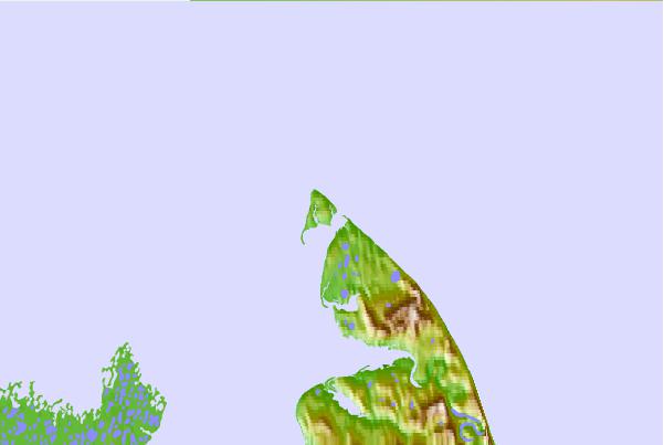
Use this relief map to navigate to tide stations, surf breaks and cities that are in the area of Baillie Island, Nunavut/NWT.
Other Nearby Locations' tide tables and tide charts to Baillie Island, Nunavut/NWT:
click location name for more details
 Surf breaks close to Baillie Island, Nunavut/NWT:
|
||
|---|---|---|
| Closest surf break | Graveyards | 830 mi |
| Second closest surf break | Ocean Cape | 831 mi |
| Third closest surf break | Cannon Beach | 832 mi |
| Fourth closest surf break | Bird Point (Tidal Bore) | 938 mi |
| Fifth closest surf break | Termination Point | 1126 mi |

 Nearest