
| Distance / Altitude | Location | Report Date / Time | Live Weather | Wind | Gusts | Temp. | Visibility | Cloud |
|---|---|---|---|---|---|---|---|---|
| 199 km NNE / 88 m | Sachs Harbour Climate- Nwt (Canada) | 2024-05-02 02:00 local (2024/05/02 08:00 GMT) | no report | - (- km/h at -) | -14°C | - | - | |
| 209 km SE / 6 m | Paulatuk-Nwt (Canada) | 2024-05-02 03:00 local (2024/05/02 09:00 GMT) | No report | light winds from the WNW (17 km/h at 300) | -9°C | - | - no observation - | |
| 215 km SW / 6 m | Tuktoyaktuk-Nwt (Canada) | 2024-05-02 03:00 local (2024/05/02 09:00 GMT) | - | light winds from the NW (9 km/h at 320) | -13°C | - | no observation | |
| 273 km ESE / 616 m | Tuktut Nogait Airport (N.w. Territories) | 2024-05-02 03:00 local (2024/05/02 09:00 GMT) | - | light winds from the W (7 km/h at 260) | -7°C | 0.0 | ||
| 273 km ESE / 552 m | TuktutNogait-Nwt (Canada) | 2024-05-02 03:00 local (2024/05/02 09:00 GMT) | - | light winds from the W (7 km/h at 260) | -7°C | - | no observation |
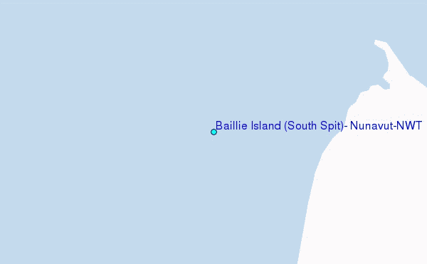
Choose Baillie Island (South Spit), Nunavut/NWT Location Map Zoom:
| Contours: | Roads & Rivers: | Select a
tide station / surf break / city |
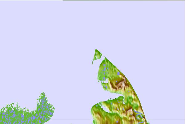
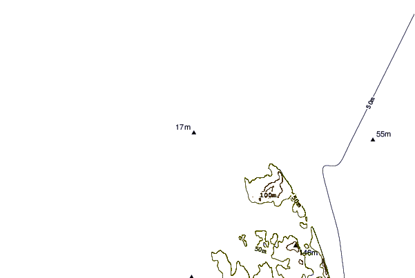
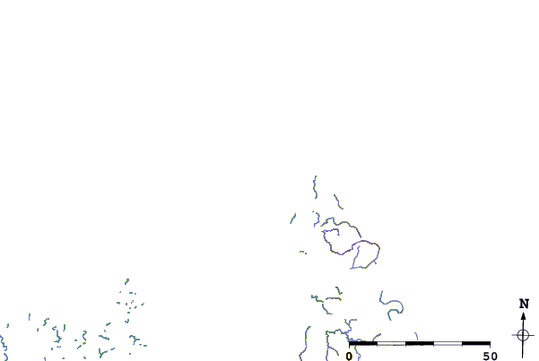
Use this relief map to navigate to tide stations, surf breaks and cities that are in the area of Baillie Island (South Spit), Nunavut/NWT.
Other Nearby Locations' tide tables and tide charts to Baillie Island (South Spit), Nunavut/NWT:
click location name for more details
 Surf breaks close to Baillie Island (South Spit), Nunavut/NWT:
|
||
|---|---|---|
| Closest surf break | Graveyards | 825 mi |
| Second closest surf break | Ocean Cape | 827 mi |
| Third closest surf break | Cannon Beach | 828 mi |
| Fourth closest surf break | Bird Point (Tidal Bore) | 933 mi |
| Fifth closest surf break | Termination Point | 1121 mi |

 Nearest
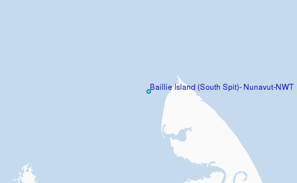