
| Distance / Altitude | Location | Report Date / Time | Live Weather | Wind | Gusts | Temp. | Visibility | Cloud |
|---|---|---|---|---|---|---|---|---|
| 121 km S / 213 m | Kudat Airport (Malaysia) | 2024-05-08 15:00 local (2024/05/08 07:00 GMT) | - | light winds from the NE.(Wind varies from 320 to 100 degs) (13 km/h at 40) | 33°C | 10.0 | few few | |
| 121 km S / 5 m | Kudat (Malaysia) | 2024-05-08 14:00 local (2024/05/08 06:00 GMT) | Haze | light winds from the NE (11 km/h at 40) | 33°C | 36 km | scattered | |
| 146 km SW / - m | SHIP6147 (ocean) | 2024-05-08 14:00 local (2024/05/08 06:00 GMT) | State of sky unchanged | light winds from the N (15 km/h at 10) | 28°C | 20 km | scattered | |
| 256 km S / 218 m | Kota Kinabalu International Airport (Malaysia) | 2024-05-08 14:00 local (2024/05/08 06:00 GMT) | Distant precipitation but not falling at station | calm (4 km/h at 1) | 31°C | 10.0 | few few scattered | |
| 256 km SSE / 129 m | Sandakan (Malaysia) | 2024-05-08 14:00 local (2024/05/08 06:00 GMT) | Haze | light winds from the NNE (17 km/h at 30) | 33°C | 33 km | - mostly cloudy - |
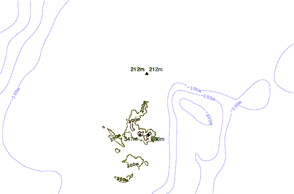
| Contours: | Roads & Rivers: | Select a
tide station / surf break / city |
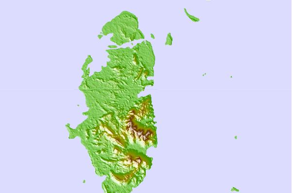
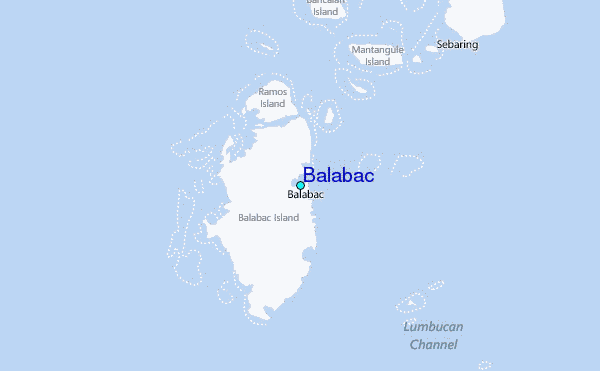
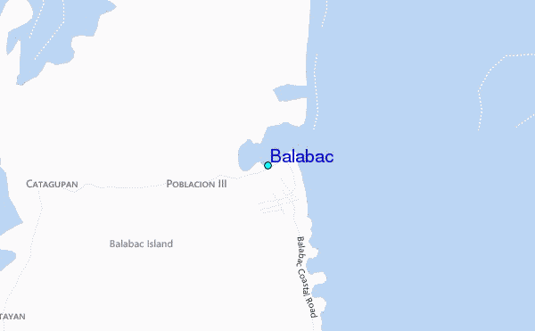
Use this relief map to navigate to tide stations, surf breaks and cities that are in the area of Balabac.
Other Nearby Locations' tide tables and tide charts to Balabac:
click location name for more details
 Surf breaks close to Balabac:
|
||
|---|---|---|
| Closest surf break | Kudat (Pantai Kosuhui) | 70 mi |
| Second closest surf break | Kota Belud | 115 mi |
| Third closest surf break | Shabandar | 137 mi |
| Fourth closest surf break | Nexus | 145 mi |
| Fifth closest surf break | Nexus West End | 145 mi |

 Nearest
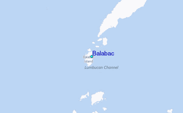