
| Distance / Altitude | Location | Report Date / Time | Live Weather | Wind | Gusts | Temp. | Visibility | Cloud |
|---|---|---|---|---|---|---|---|---|
| 41 km N / 15 m | General Santos International Airport (Paliparang Pandaigdig ng Heneral Santos) (Philippines) | 2024-04-29 17:00 local (2024/04/29 09:00 GMT) | Haze | light winds from the SSE (18 km/h at 150) | 31°C | 38 km | - mostly cloudy - | |
| 159 km NNE / 293 m | Davao/Francisco Bangoy International Airport (Philippines) | 2024-04-29 17:00 local (2024/04/29 09:00 GMT) | Shower - in the vicinity | calm (4 km/h at 360) | 30°C | 10.0 | few scattered broken | |
| 165 km NW / 48 m | Davao Airport (Philippines) | 2024-04-29 17:00 local (2024/04/29 09:00 GMT) | Distant precipitation but not falling at station | calm (4 km/h at 360) | 30°C | 35 km | - mostly cloudy - | |
| 193 km WNW / 53 m | Cotabato-Mindanao (Philippines) | 2024-04-29 17:00 local (2024/04/29 09:00 GMT) | Clouds developing | light winds from the NW (7 km/h at 320) | 30°C | 32 km | - mostly cloudy - | |
| 230 km S / 38 m | NahaTahuna (Indonesia) | 2024-04-29 17:00 local (2024/04/29 09:00 GMT) | - | light winds from the NNE (6 km/h at 20) | 29°C | 28 km | mostly cloudy |
| Contours: | Roads & Rivers: | Select a
tide station / surf break / city |
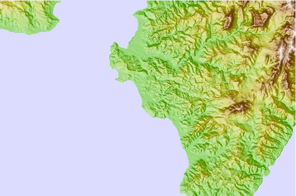
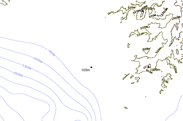
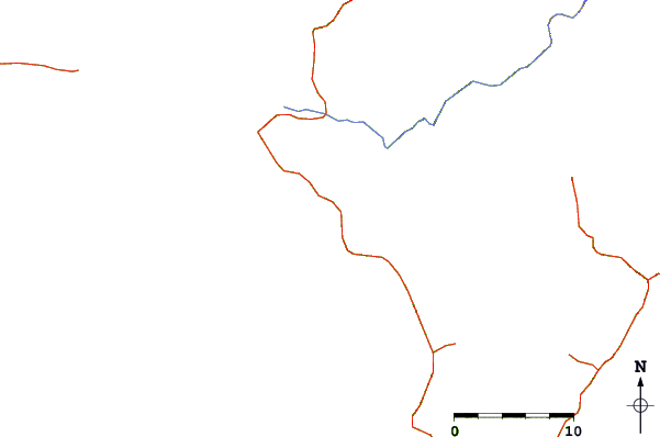
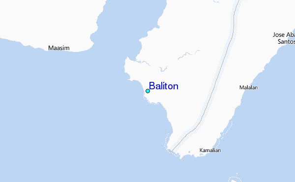
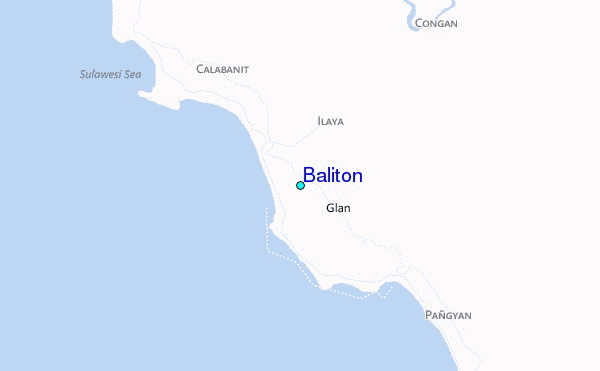
Use this relief map to navigate to tide stations, surf breaks and cities that are in the area of Baliton.
Other Nearby Locations' tide tables and tide charts to Baliton:
click location name for more details
 Surf breaks close to Baliton:
|
||
|---|---|---|
| Closest surf break | Tago River | 236 mi |
| Second closest surf break | Marami Beach | 241 mi |
| Third closest surf break | Lanuza Rivermouth | 248 mi |
| Fourth closest surf break | Big Star | 250 mi |
| Fifth closest surf break | Random Beach Break | 250 mi |

 Nearest
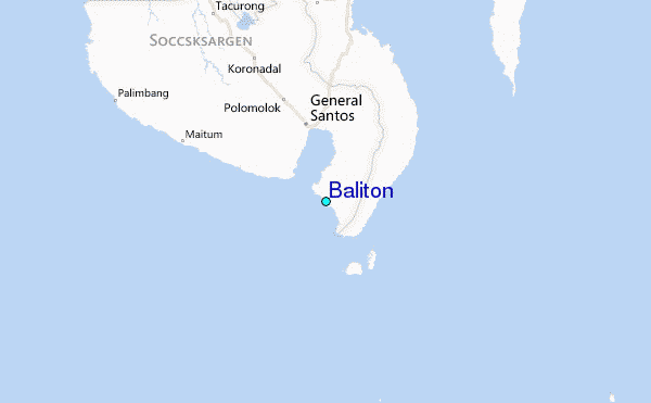