
| Distance / Altitude | Location | Report Date / Time | Live Weather | Wind | Gusts | Temp. | Visibility | Cloud |
|---|---|---|---|---|---|---|---|---|
| 11 km E / 118 m | Krabi Airport (Thailand) | 2024-04-28 10:00 local (2024/04/28 03:00 GMT) | Dry and partly cloudy | calm (4 km/h at 1) | 32°C | 10.0 | scattered scattered broken | |
| 49 km SW / 3 m | Phuket (Thailand) | 2024-04-28 10:00 local (2024/04/28 03:00 GMT) | no report | light winds from the ENE (6 km/h at 60) | 35°C | 10 | - scattered - | |
| 55 km WSW / 207 m | Phuket International Airport (Thailand) | 2024-04-28 10:30 local (2024/04/28 03:30 GMT) | - | light winds from the N (6 km/h at 1) | 36°C | 10.0 | few | |
| 56 km W / 9 m | Phuket Airport (Thailand) | 2024-04-28 10:00 local (2024/04/28 03:00 GMT) | no report | light winds from the NW (7 km/h at 310) | 33°C | 30 km | - mostly cloudy - | |
| 63 km SSE / 7 m | KO Lanta (Thailand) | 2024-04-28 10:00 local (2024/04/28 03:00 GMT) | no report | calm (0 km/h at 0) | 32°C | 30 km | - scattered - |
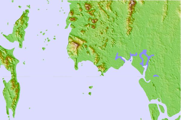
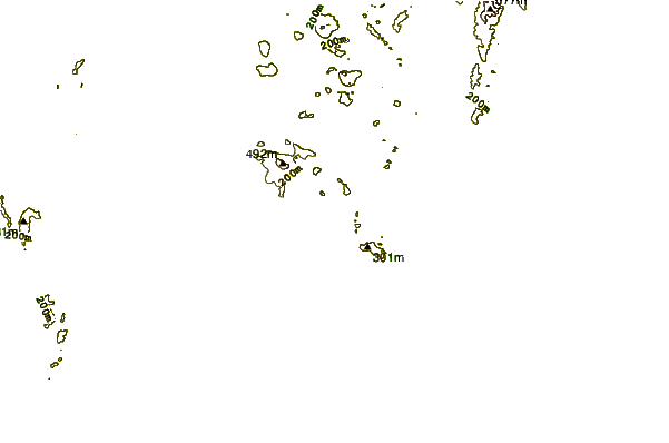
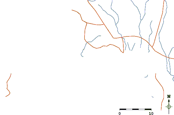
| Contours: | Roads & Rivers: | Select a
tide station / surf break / city |
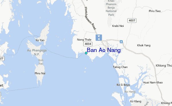
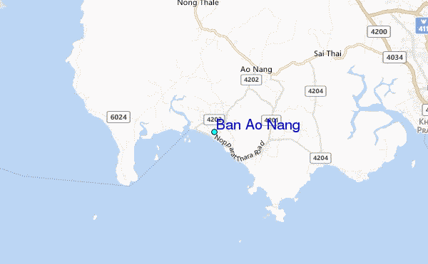
Use this relief map to navigate to tide stations, surf breaks and cities that are in the area of Ban Ao Nang.
Other Nearby Locations' tide tables and tide charts to Ban Ao Nang:
click location name for more details
 Surf breaks close to Ban Ao Nang:
|
||
|---|---|---|
| Closest surf break | Koh Lanta - Khlong Dao | 32 mi |
| Second closest surf break | Bang Tao | 36 mi |
| Third closest surf break | Nai Yang Reef - Airport Reef | 36 mi |
| Fourth closest surf break | Kalim Beach | 37 mi |
| Fifth closest surf break | Kamala Beach | 37 mi |

 Nearest
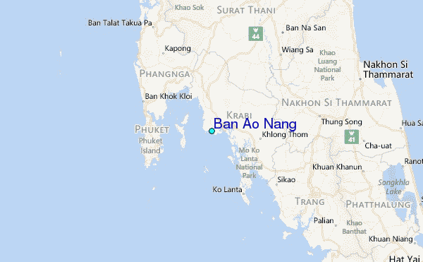