
| Distance / Altitude | Location | Report Date / Time | Live Weather | Wind | Gusts | Temp. | Visibility | Cloud |
|---|---|---|---|---|---|---|---|---|
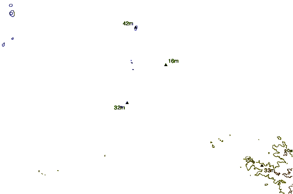
| 23 km ESE / 20 m | BanjarmasinSyamsudinNoor (Indonesia) | 2024-05-03 23:00 local (2024/05/03 15:00 GMT) | - | light winds from the E (7 km/h at 100) | 27°C | 30 km | - mostly cloudy - | |
| 25 km ESE / 20 m | Syamsudin Noor International Airport (Indonesia) | 2024-05-03 22:30 local (2024/05/03 14:30 GMT) | - | light winds from the E (9 km/h at 90) | 27°C | 10.0 | few | |
| 141 km NW / 27 m | PalangkaRayaTjilikRiwut (Indonesia) | 2024-05-03 23:00 local (2024/05/03 15:00 GMT) | - | calm (2 km/h at 10) | 27°C | 29 km | - mostly cloudy - | |
| 176 km E / 18 m | KotaBaruStagen (Indonesia) | 2024-05-03 23:00 local (2024/05/03 15:00 GMT) | Intermittent light rain | calm (4 km/h at 140) | 27°C | 27 km | - overcast - | |
| 228 km ESE / 15 m | ASCATC116E4S (Marine) | 2024-05-03 22:01 local (2024/05/03 14:01 GMT) | light winds from the ESE (19 km/h at 102) | — | - km |
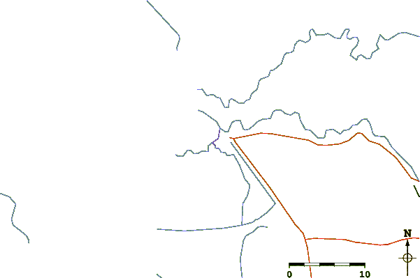
| Contours: | Roads & Rivers: | Select a
tide station / surf break / city |
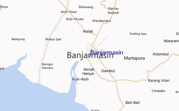
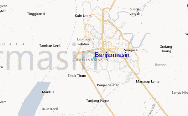
Use this relief map to navigate to tide stations, surf breaks and cities that are in the area of Banjarmasin.
Other Nearby Locations' tide tables and tide charts to Banjarmasin:
click location name for more details
 Surf breaks close to Banjarmasin:
|
||
|---|---|---|
| Closest surf break | Medewi | 353 mi |
| Second closest surf break | Balian | 359 mi |
| Third closest surf break | Gili Air-Pertama | 363 mi |
| Fourth closest surf break | Padangbai | 365 mi |
| Fifth closest surf break | Tanjung Kucur | 367 mi |

 Nearest
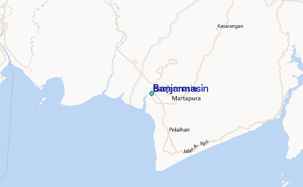