
| Distance / Altitude | Location | Report Date / Time | Live Weather | Wind | Gusts | Temp. | Visibility | Cloud |
|---|---|---|---|---|---|---|---|---|
| 19 km SE / 411 m | Dzaoudzi/Pamanzi Airport (Comoros) | 2024-05-06 16:30 local (2024/05/06 13:30 GMT) | Dry and partly cloudy | light winds from the SSE (15 km/h at 160) | 30°C | 10.0 | broken broken broken | |
| 21 km ESE / 581 m | Pamandzi(Mayotte) (France) | 2024-05-06 15:00 local (2024/05/06 12:00 GMT) | Clear skies | light winds from the SSE (19 km/h at 150) | 32°C | 40 km | no observation | |
| 240 km W / 29 m | HahayaInt.Airport (Comoros) | 2024-05-06 15:00 local (2024/05/06 12:00 GMT) | - | moderate winds from the SE (24 km/h at 140) | 32°C | 50 km | - mostly cloudy - | |
| 267 km ENE / 4 m | Iles Glorieuses (France) | 2024-05-06 17:00 local (2024/05/06 14:00 GMT) | no report | light winds from the ENE (11 km/h at 60) | 29°C | - | - | |
| 353 km ESE / 113 m | Nosy Be/Fascene Airport (Comoros) | 2024-05-06 16:00 local (2024/05/06 13:00 GMT) | - | calm (4 km/h at 310) | 32°C | 10.0 | few |
| Contours: | Roads & Rivers: | Select a
tide station / surf break / city |

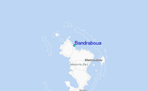
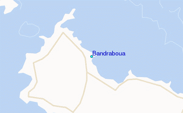
Use this relief map to navigate to tide stations, surf breaks and cities that are in the area of Bandraboua.
Other Nearby Locations' tide tables and tide charts to Bandraboua:
click location name for more details
 Surf breaks close to Bandraboua:
|
||
|---|---|---|
| Closest surf break | Oyster Bay Beach - Coco Beach | 571 mi |
| Second closest surf break | Sea Cliff | 572 mi |
| Third closest surf break | Jam's Right | 574 mi |
| Fourth closest surf break | Nungwi Reefs | 625 mi |
| Fifth closest surf break | Mombasa Channel | 702 mi |

 Nearest
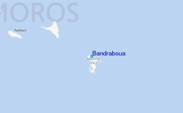