
| Distance / Altitude | Location | Report Date / Time | Live Weather | Wind | Gusts | Temp. | Visibility | Cloud |
|---|---|---|---|---|---|---|---|---|
| 42 km NW / 214 m | Latakia Airport (Syria) | 2024-05-06 02:00 local (2024/05/05 23:00 GMT) | Dry and partly cloudy | light winds from the ESE (7 km/h at 110) | 13°C | 10.0 | few scattered broken | |
| 134 km NNE / 71 m | Hatay Havalimanı (Turkey) | 2024-05-06 03:00 local (2024/05/06 00:00 GMT) | rain showers | light winds from the E (11 km/h at 90) | 14°C | 20 | - | |
| 157 km N / 119 m | Iskenderun (Turkey) | 2024-05-06 03:00 local (2024/05/06 00:00 GMT) | thunderstorms | calm (4 km/h at 20) | 16°C | 20 | - | |
| 158 km S / 217 m | Beirut Airport (Lebanon) | 2024-05-06 02:00 local (2024/05/05 23:00 GMT) | Light rain | light winds from the ESE (11 km/h at 110) | 16°C | 7.0 | ||
| 170 km S / 875 m | Baaqline (Lebanon) | 2024-05-06 03:40 local (2024/05/06 00:40 GMT) | dry | calm (2 km/h at 329) | 10°C | - | - - 0 |
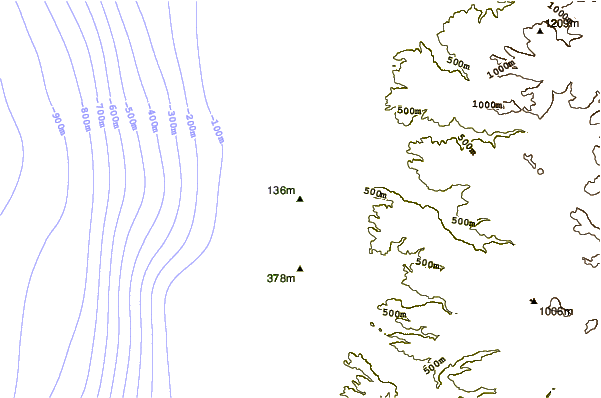
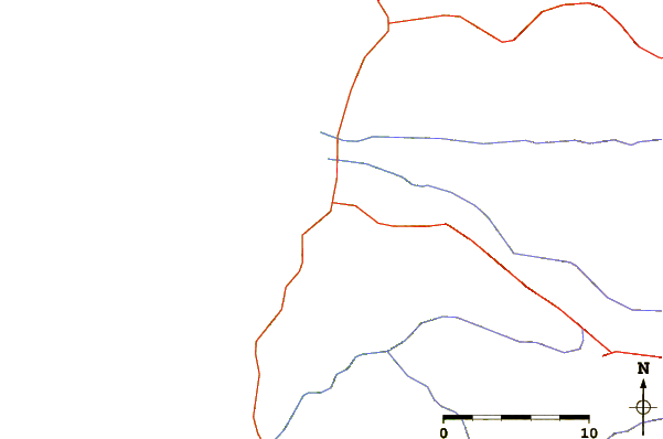
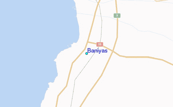
| Contours: | Roads & Rivers: | Select a
tide station / surf break / city |
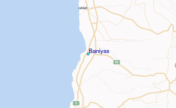
Use this relief map to navigate to tide stations, surf breaks and cities that are in the area of Baniyas.
Other Nearby Locations' tide tables and tide charts to Baniyas:
click location name for more details
 Surf breaks close to Baniyas:
|
||
|---|---|---|
| Closest surf break | Sandy Beach - Chekka | 62 mi |
| Second closest surf break | Batroun or Colonel | 67 mi |
| Third closest surf break | Tam Tam | 76 mi |
| Fourth closest surf break | Nahr Brahim | 80 mi |
| Fifth closest surf break | Phil and Did (Akif's reef) | 109 mi |

 Nearest
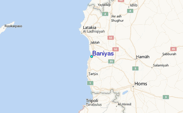