
| Distance / Altitude | Location | Report Date / Time | Live Weather | Wind | Gusts | Temp. | Visibility | Cloud |
|---|---|---|---|---|---|---|---|---|
| 64 km SSE / 216 m | Bali International Airport (Indonesia) | 2024-04-29 12:30 local (2024/04/29 04:30 GMT) | - | fresh winds from the ESE (30 km/h at 120) | 30°C | 10.0 | few | |
| 65 km WSW / 221 m | Banyuwangi (Indonesia) | 2024-04-29 11:00 local (2024/04/29 03:00 GMT) | - | light winds from the SSE (9 km/h at 160) | 30°C | 28 km | mostly cloudy | |
| 66 km SSE / 1 m | DenpasarNgurahRai (Indonesia) | 2024-04-29 11:00 local (2024/04/29 03:00 GMT) | - | light winds from the ESE (19 km/h at 120) | 29°C | 30 km | mostly cloudy | |
| 131 km ESE / 12 m | PrayaLombok (Indonesia) | 2024-04-29 11:00 local (2024/04/29 03:00 GMT) | - | light winds from the SSE (13 km/h at 150) | 30°C | 28 km | scattered | |
| 158 km ESE / 97 m | Bandara Airport (Indonesia) | 2024-04-29 12:30 local (2024/04/29 04:30 GMT) | Dry and partly cloudy | light winds from the SSE (9 km/h at 160) | 30°C | 8.0 | broken |
| Contours: | Roads & Rivers: | Select a
tide station / surf break / city |
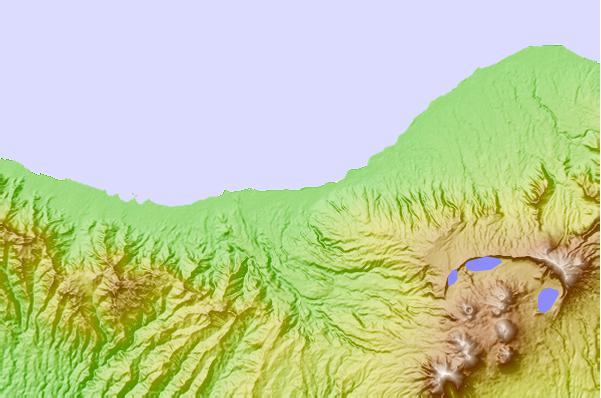
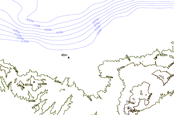
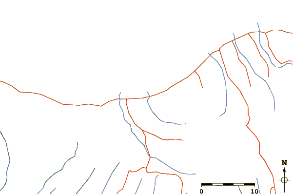
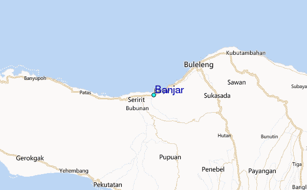
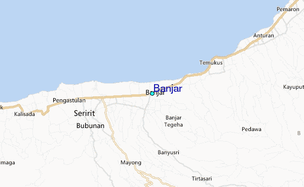
Use this relief map to navigate to tide stations, surf breaks and cities that are in the area of Banjar.
Other Nearby Locations' tide tables and tide charts to Banjar:
click location name for more details
 Surf breaks close to Banjar:
|
||
|---|---|---|
| Closest surf break | Medewi | 20 mi |
| Second closest surf break | Balian | 22 mi |
| Third closest surf break | Canggu | 35 mi |
| Fourth closest surf break | Pererenan | 35 mi |
| Fifth closest surf break | Blue Ocean | 37 mi |

 Nearest
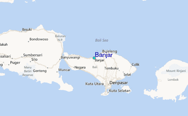