
| Distance / Altitude | Location | Report Date / Time | Live Weather | Wind | Gusts | Temp. | Visibility | Cloud |
|---|---|---|---|---|---|---|---|---|
| 1 km S / 360 m | Barahona Airport (Dominican Republic) | 2024-04-27 16:00 local (2024/04/27 20:00 GMT) | Dry and partly cloudy | moderate winds from the SE (26 km/h at 130) | 31°C | 10.0 | few scattered broken | |
| 58 km E / 10 m | Playa Punta Salinas (Dominican Republic) | 2024-04-27 17:00 local (2024/04/27 21:00 GMT) | - | gales from the ENE (67 km/h at 60) | 31°C | - | - - 0 | |
| 125 km ENE / 30 m | La Isabela International Airport (Dominican republic) | 2024-04-27 16:00 local (2024/04/27 20:00 GMT) | Dry and partly cloudy | light winds from the N (19 km/h at 360) | 28°C | 10.0 | broken scattered | |
| 125 km ENE / 50 m | Bella Vista wx (Dominican Republic) | 2024-04-27 16:29 local (2024/04/27 20:29 GMT) | dry | light winds from the N (8 km/h at 1) | 27°C | - | - - 0 | |
| 131 km E / 14 m | SantoDomingo(78486 -0) (Dominican Republic) | 2024-04-27 17:00 local (2024/04/27 21:00 GMT) | State of sky unchanged | light winds from the NNW (11 km/h at 340) | 28°C | 36 km | scattered |
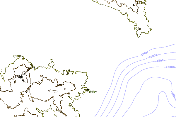
| Contours: | Roads & Rivers: | Select a
tide station / surf break / city |


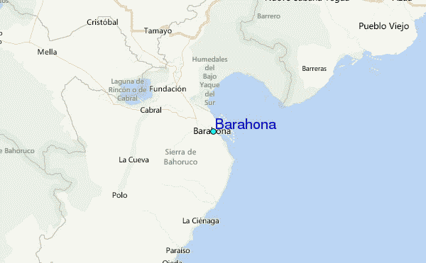
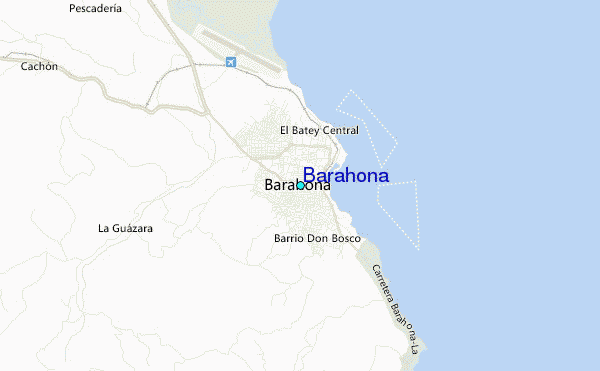
Use this relief map to navigate to tide stations, surf breaks and cities that are in the area of Barahona.
Other Nearby Locations' tide tables and tide charts to Barahona:
click location name for more details
 Surf breaks close to Barahona:
|
||
|---|---|---|
| Closest surf break | Baorvco | 6 mi |
| Second closest surf break | Barranca | 16 mi |
| Third closest surf break | La Cienega | 25 mi |
| Fourth closest surf break | San Rafael | 30 mi |
| Fifth closest surf break | Paraiso | 32 mi |

 Nearest
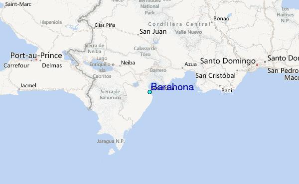