
| Distance / Altitude | Location | Report Date / Time | Live Weather | Wind | Gusts | Temp. | Visibility | Cloud |
|---|---|---|---|---|---|---|---|---|
| 26 km NNE / 50 m | Porto de Pedras (Brazil) | 2024-05-02 12:00 local (2024/05/02 15:00 GMT) | clouds developing | - (- km/h at -) | 29°C | 4000 | - | |
| 33 km SW / 117 m | Maceió-Campo Palmar (Brazil) | 2024-05-02 13:00 local (2024/05/02 16:00 GMT) | Dry and partly cloudy | light winds from the ESE (19 km/h at 120) | 30°C | 10.0 | broken - - | |
| 33 km SW / 66 m | Maceio (81998 -0) (Brazil) | 2024-05-02 13:00 local (2024/05/02 16:00 GMT) | no report | light winds from the ESE (11 km/h at 110) | 30°C | - | - | |
| 82 km N / 182 m | Palmares (Brazil) | 2024-05-02 13:00 local (2024/05/02 16:00 GMT) | no report | light winds from the SE (11 km/h at 130) | 29°C | - | - | |
| 117 km SSW / 76 m | Coruripe (Brazil) | 2024-05-02 12:00 local (2024/05/02 15:00 GMT) | no report | light winds from the SE (7 km/h at 140) | 28°C | - | - |
| Contours: | Roads & Rivers: | Select a
tide station / surf break / city |
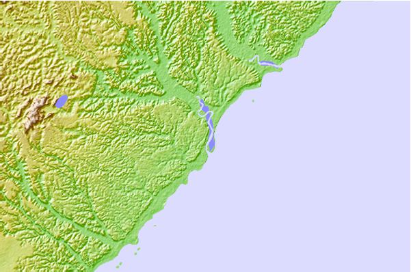
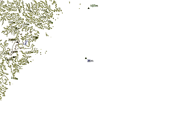
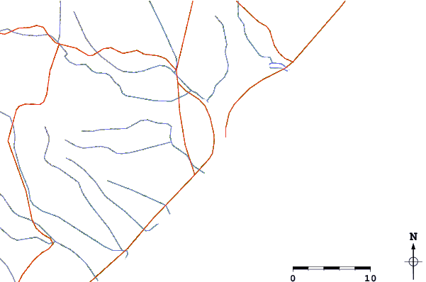
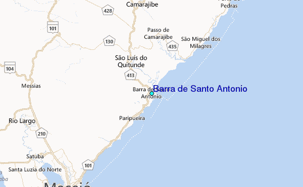
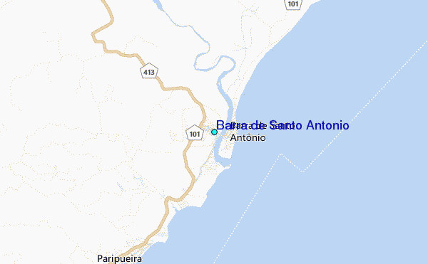
Use this relief map to navigate to tide stations, surf breaks and cities that are in the area of Barra de Santo Antonio.
Other Nearby Locations' tide tables and tide charts to Barra de Santo Antonio:
click location name for more details
 Surf breaks close to Barra de Santo Antonio:
|
||
|---|---|---|
| Closest surf break | Mirante da Sirena | 2 mi |
| Second closest surf break | Garca Torta | 7 mi |
| Third closest surf break | Praia de Jatiuca | 11 mi |
| Fourth closest surf break | Japaratinga | 14 mi |
| Fifth closest surf break | Pedra Virada | 17 mi |

 Nearest
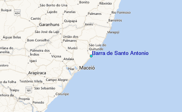