
| Distance / Altitude | Location | Report Date / Time | Live Weather | Wind | Gusts | Temp. | Visibility | Cloud |
|---|---|---|---|---|---|---|---|---|
| 1 km W / 192 m | Barter Island Airport (Alaska) | 2024-04-30 01:52 local (2024/04/30 09:52 GMT) | Light snow | moderate winds from the W (20 km/h at 260) | -13°C | 14 | overcast | |
| 101 km WSW / 8 m | Point Thompson Airstrip-Deadhorse (Alaska) (Alaska) | 2024-04-30 02:35 local (2024/04/30 10:35 GMT) | Dry and cloudy | light winds from the W (13 km/h at 270) | -15°C | 16 | scattered overcast | |
| 143 km ESE / 13 m | Komakuk Beach- YT (Canada) | 2024-04-30 03:00 local (2024/04/30 11:00 GMT) | no report | moderate winds from the WSW (25 km/h at 250) | -14°C | - | - | |
| 143 km ESE / 13 m | Komakuk Beach- YT (Canada) | 2024-04-30 01:00 local (2024/04/30 09:00 GMT) | no report | light winds from the WSW (17 km/h at 250) | -14°C | - | - no observation - | |
| 144 km ESE / 216 m | Komakuk Beach Airport (Yukon Territory) | 2024-04-30 02:00 local (2024/04/30 10:00 GMT) | - | moderate winds from the WSW (24 km/h at 250) | -14°C | 0 |
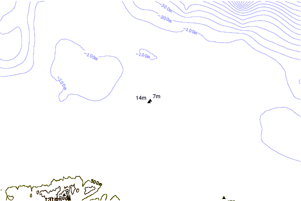
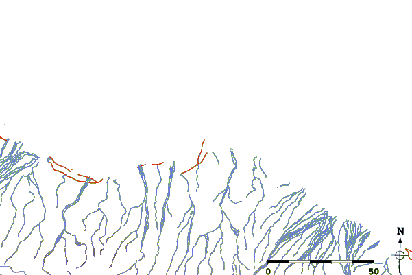
| Contours: | Roads & Rivers: | Select a
tide station / surf break / city |
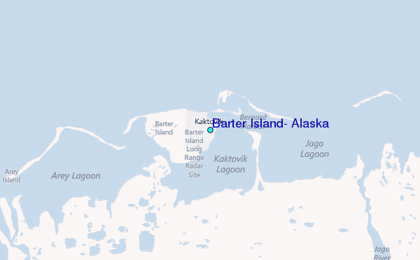
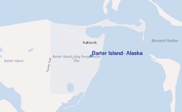
Use this relief map to navigate to tide stations, surf breaks and cities that are in the area of Barter Island, Alaska.
Other Nearby Locations' tide tables and tide charts to Barter Island, Alaska:
click location name for more details
 Surf breaks close to Barter Island, Alaska:
|
||
|---|---|---|
| Closest surf break | Bird Point (Tidal Bore) | 687 mi |
| Second closest surf break | Graveyards | 740 mi |
| Third closest surf break | Ocean Cape | 740 mi |
| Fourth closest surf break | Cannon Beach | 743 mi |
| Fifth closest surf break | Termination Point | 887 mi |

 Nearest
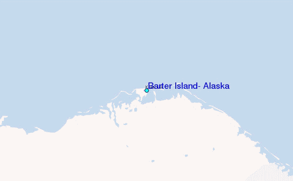