
| Distance / Altitude | Location | Report Date / Time | Live Weather | Wind | Gusts | Temp. | Visibility | Cloud |
|---|---|---|---|---|---|---|---|---|
| 9 km W / 8 m | LERaizetAero (France) | 2024-04-29 20:00 local (2024/04/30 00:00 GMT) | Clear skies | light winds from the ENE (6 km/h at 60) | 27°C | 35 km | no observation | |
| 10 km W / 9 m | Pointe-à-Pitre International Airport (Guadeloupe, Saint Martin, Saint Barthelemy and other French islands in the vicinity) | 2024-04-29 20:00 local (2024/04/30 00:00 GMT) | no report | calm (4 km/h at 140) | 29°C | - | - | |
| 11 km W / 215 m | Le Raizet Airport (Lesser Antilles) | 2024-04-29 19:30 local (2024/04/29 23:30 GMT) | Dry and partly cloudy | light winds from the E (7 km/h at 100) | 27°C | 10.0 | broken | |
| 11 km NNE / 22 m | Blanchet wx (Guadeloupe) | 2024-04-29 20:49 local (2024/04/30 00:49 GMT) | - | calm (0 km/h at 36) | 24°C | - | - - 0 | |
| 79 km S / 16 m | Melville Hall AR Airport (Dominica) | 2024-04-29 20:00 local (2024/04/30 00:00 GMT) | State of sky unchanged | light winds from the WNW (6 km/h at 290) | 24°C | 45 km | scattered |
| Contours: | Roads & Rivers: | Select a
tide station / surf break / city |
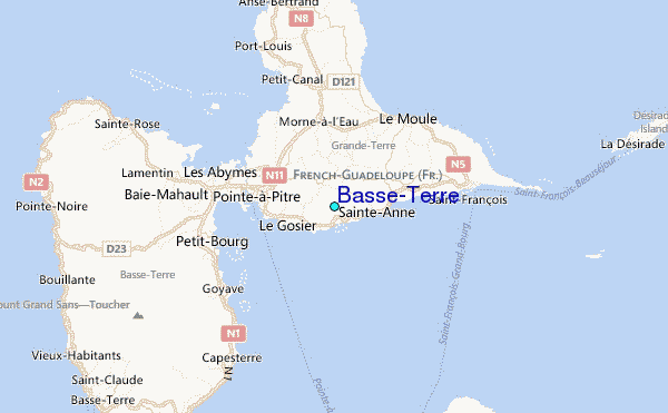
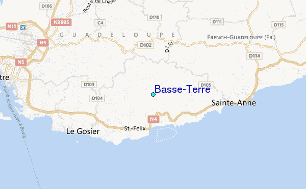
Use this relief map to navigate to tide stations, surf breaks and cities that are in the area of Basse-Terre.
Other Nearby Locations' tide tables and tide charts to Basse-Terre:
click location name for more details
 Surf breaks close to Basse-Terre:
|
||
|---|---|---|
| Closest surf break | Petit Havre | 1 mi |
| Second closest surf break | Caravelle | 3 mi |
| Third closest surf break | Hotel Novotel | 5 mi |
| Fourth closest surf break | La Caravelle | 5 mi |
| Fifth closest surf break | Anse A La Barque | 8 mi |

 Nearest
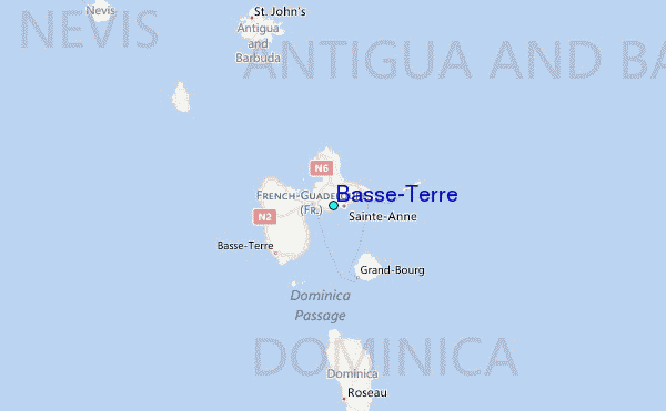