
| Distance / Altitude | Location | Report Date / Time | Live Weather | Wind | Gusts | Temp. | Visibility | Cloud |
|---|---|---|---|---|---|---|---|---|
| 162 km ESE / 20 m | BRAVO SIARGAO (Philippines) | 2024-05-03 20:00 local (2024/05/03 12:00 GMT) | - | light winds from the ENE (15 km/h at 67) | 29°C | - | - - 0 | |
| 197 km SSW / 8 m | Dumaguete–Sibulan Airport (Philippines) | 2024-05-03 20:00 local (2024/05/03 12:00 GMT) | - | light winds from the WSW (7 km/h at 250) | 29°C | 10.0 | few | |
| 201 km S / 10 m | Opol (PI) | 2024-05-03 20:07 local (2024/05/03 12:07 GMT) | - | calm (5 km/h at 215) | — | - | - - 0 | |
| 248 km SSW / 5 m | Dipolog Mindanao Island (Philippines) | 2024-05-03 18:00 local (2024/05/03 10:00 GMT) | no report | light winds from the ENE (7 km/h at 70) | 33°C | 36 km | - few - | |
| 259 km NW / 210 m | Macatan Airport (Philippines) | 2024-05-03 19:00 local (2024/05/03 11:00 GMT) | - | light winds from the NE (13 km/h at 50) | 31°C | 10.0 | few |
| Contours: | Roads & Rivers: | Select a
tide station / surf break / city |
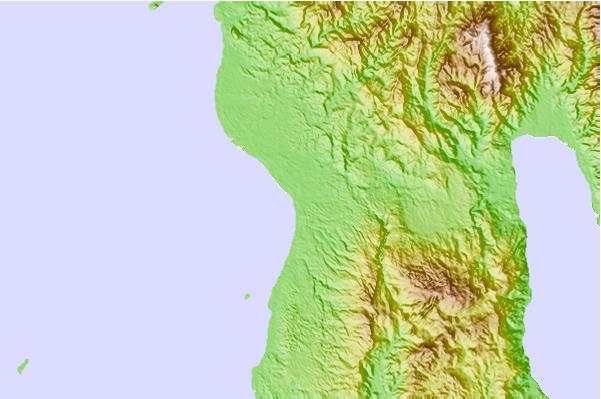
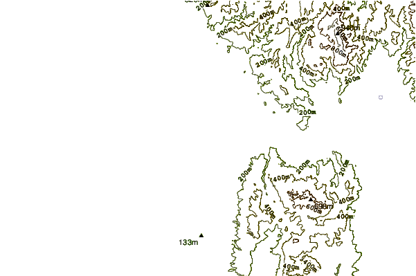
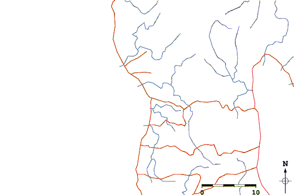
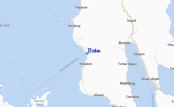
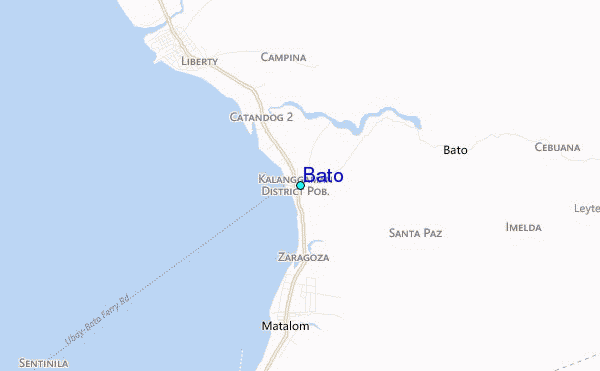
Use this relief map to navigate to tide stations, surf breaks and cities that are in the area of Bato.
Other Nearby Locations' tide tables and tide charts to Bato:
click location name for more details
 Surf breaks close to Bato:
|
||
|---|---|---|
| Closest surf break | Calicoan Island ABCD Beach | 83 mi |
| Second closest surf break | Sulingan Beach | 83 mi |
| Third closest surf break | Burgos | 90 mi |
| Fourth closest surf break | Llorente | 91 mi |
| Fifth closest surf break | Pacifico | 93 mi |

 Nearest
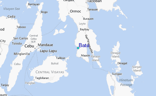