
| Distance / Altitude | Location | Report Date / Time | Live Weather | Wind | Gusts | Temp. | Visibility | Cloud |
|---|---|---|---|---|---|---|---|---|
| 16 km W / 12 m | Mary s Harbour- Nfld (Canada) | 2024-05-02 20:30 local (2024/05/02 23:00 GMT) | no report | moderate winds from the N (26 km/h at 360) | 1°C | 31 km | - overcast - | |
| 17 km WSW / 217 m | Mary's Harbour Airport (Newfoundland) | 2024-05-02 20:46 local (2024/05/02 23:16 GMT) | Light rain | wind obs. (0 kph from 0 degs) was rejected (- km/h at -) | 1°C | 5 | overcast | |
| 83 km S / 10 m | St. Lunaire - Griquet (Canada) | 2024-05-02 20:57 local (2024/05/02 23:27 GMT) | - | moderate winds from the WNW (27 km/h at 288) | 1°C | - | - - 0 | |
| 103 km S / 33 m | St.Anthony-Nfld (Canada) | 2024-05-02 19:30 local (2024/05/02 22:00 GMT) | no report | strong winds from the N (43 km/h at 10) | 1°C | 31 km | - overcast - | |
| 103 km S / 196 m | Saint Anthony Airport (Newfoundland) | 2024-05-02 21:13 local (2024/05/02 23:43 GMT) | Dry and cloudy | strong winds from the N (48 km/h at 10) | 1°C | 0.0 | overcast |
| Contours: | Roads & Rivers: | Select a
tide station / surf break / city |
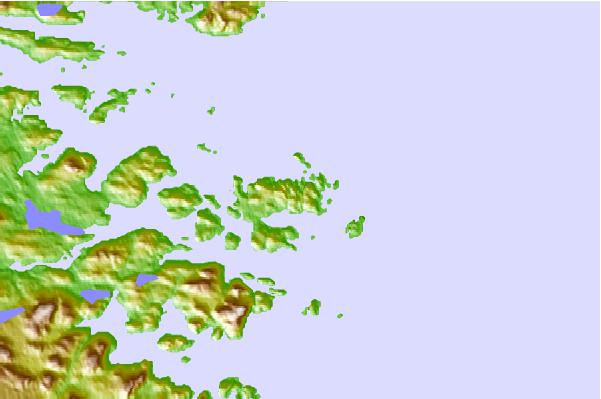
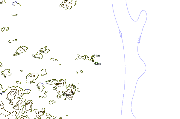
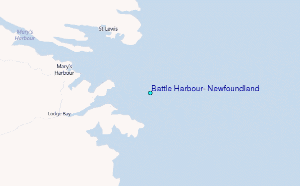
Use this relief map to navigate to tide stations, surf breaks and cities that are in the area of Battle Harbour, Newfoundland.
Other Nearby Locations' tide tables and tide charts to Battle Harbour, Newfoundland:
click location name for more details
 Surf breaks close to Battle Harbour, Newfoundland:
|
||
|---|---|---|
| Closest surf break | Ingonish Beach | 444 mi |
| Second closest surf break | Kennington Cove | 485 mi |
| Third closest surf break | Michaud Point | 517 mi |
| Fourth closest surf break | Martinique | 628 mi |
| Fifth closest surf break | Lawrencetown Left Point | 635 mi |

 Nearest
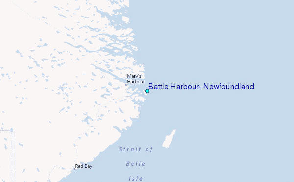