
| Distance / Altitude | Location | Report Date / Time | Live Weather | Wind | Gusts | Temp. | Visibility | Cloud |
|---|---|---|---|---|---|---|---|---|
| 42 km ENE / 164 m | Kuujjuarapik Airport (Quebec) | 2024-04-28 18:00 local (2024/04/28 22:00 GMT) | Light snow | light winds from the NNW (15 km/h at 340) | -6°C | 14 | overcast | |
| 43 km ENE / 12 m | Kuujjuarapik Arpt (Canada) | 2024-04-28 17:00 local (2024/04/28 21:00 GMT) | - | light winds from the N (18 km/h at 360) | — | - | - | |
| 169 km SSE / 195 m | LA Grande Riviere A- Que (Canada) | 2024-04-28 18:00 local (2024/04/28 22:00 GMT) | no report | - (- km/h at -) | -4°C | - | - - - | |
| 170 km SSE / 217 m | La Grande Rivier Airport (Quebec) | 2024-04-28 18:00 local (2024/04/28 22:00 GMT) | - | moderate winds from the NNW (20 km/h at 340) | -4°C | 24 | few | |
| 170 km NW / 34 m | Sanikiluaq (Canada) | 2024-04-28 17:00 local (2024/04/28 21:00 GMT) | no report | fresh winds from the NW (29 km/h at 310) | -8°C | - | - |
| Contours: | Roads & Rivers: | Select a
tide station / surf break / city |
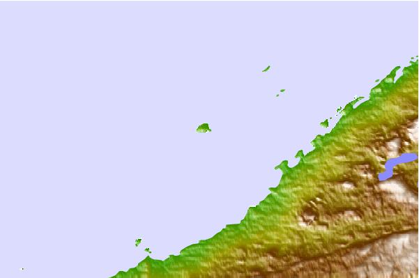
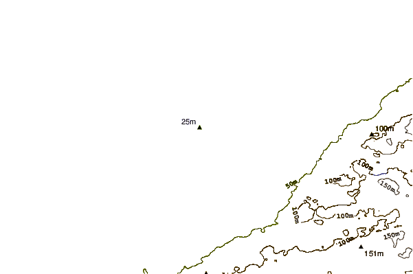
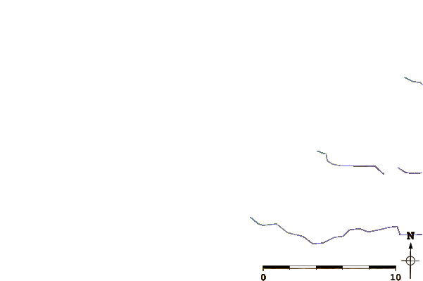
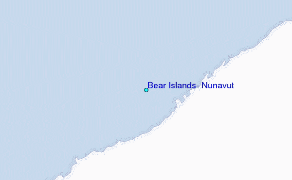
Use this relief map to navigate to tide stations, surf breaks and cities that are in the area of Bear Islands, Nunavut.
Other Nearby Locations' tide tables and tide charts to Bear Islands, Nunavut:
click location name for more details
 Surf breaks close to Bear Islands, Nunavut:
|
||
|---|---|---|
| Closest surf break | Marathon | 561 mi |
| Second closest surf break | Alona Bay | 613 mi |
| Third closest surf break | Manitoulin Island | 672 mi |
| Fourth closest surf break | Grand Marias | 673 mi |
| Fifth closest surf break | Au Sable Point | 674 mi |

 Nearest
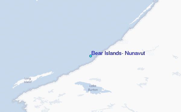