
| Distance / Altitude | Location | Report Date / Time | Live Weather | Wind | Gusts | Temp. | Visibility | Cloud |
|---|---|---|---|---|---|---|---|---|
| 90 km WSW / 113 m | ResoluteUa-NU (Canada) | 2024-04-29 05:00 local (2024/04/29 09:00 GMT) | - | light winds from the SE (9 km/h at 130) | -20°C | 44 km | mostly cloudy | |
| 90 km WSW / 216 m | Resolute Airport (N.w. Territories) | 2024-04-29 04:00 local (2024/04/29 08:00 GMT) | Light snow | light winds from the W (6 km/h at 280) | -19°C | 24 | broken | |
| 91 km WSW / 139 m | Resolute (Canada) | 2024-04-29 05:00 local (2024/04/29 09:00 GMT) | - | light winds from the ESE (6 km/h at 120) | -21°C | - | no observation | |
| 91 km WSW / 30 m | Resolute CS Airport (Nunavut) | 2024-04-29 04:00 local (2024/04/29 08:00 GMT) | - | light winds from the WNW (7 km/h at 290) | -20°C | 0.0 | ||
| 287 km SE / 10 m | ArcticBayCs- NU (Canada) | 2024-04-29 05:00 local (2024/04/29 09:00 GMT) | - | light winds from the E (11 km/h at 100) | -14°C | - | - no observation - |
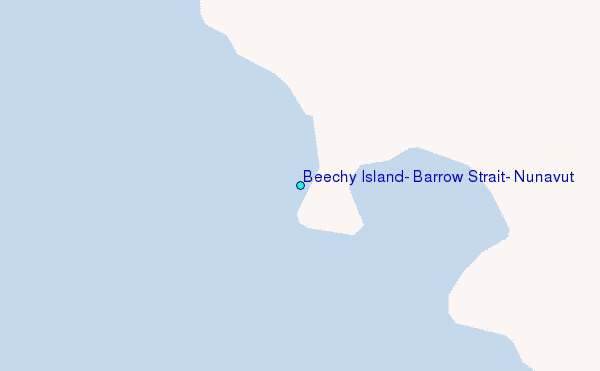
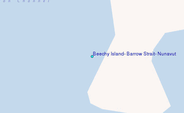
Choose Beechy Island, Barrow Strait, Nunavut Location Map Zoom:
| Contours: | Roads & Rivers: | Select a
tide station / surf break / city |
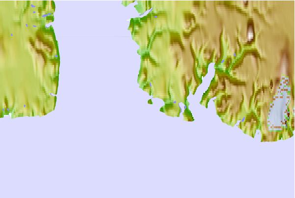
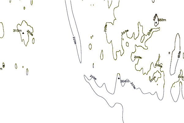
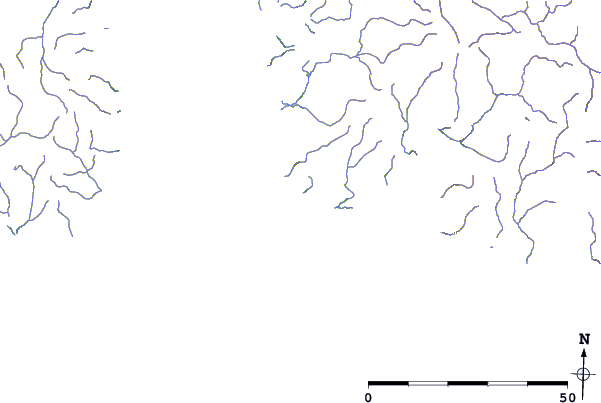
Use this relief map to navigate to tide stations, surf breaks and cities that are in the area of Beechy Island, Barrow Strait, Nunavut.
Other Nearby Locations' tide tables and tide charts to Beechy Island, Barrow Strait, Nunavut:
click location name for more details
 Surf breaks close to Beechy Island, Barrow Strait, Nunavut:
|
||
|---|---|---|
| Closest surf break | Graveyards | 1589 mi |
| Second closest surf break | Ocean Cape | 1590 mi |
| Third closest surf break | Cannon Beach | 1590 mi |
| Fourth closest surf break | Eyvik | 1702 mi |
| Fifth closest surf break | Garur | 1718 mi |

 Nearest
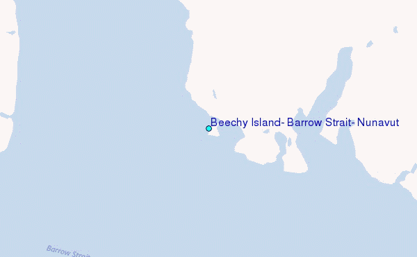