
| Distance / Altitude | Location | Report Date / Time | Live Weather | Wind | Gusts | Temp. | Visibility | Cloud |
|---|---|---|---|---|---|---|---|---|
| 30 km S / 215 m | Medan/Polonia Airport (Indonesia) | 2024-04-29 06:30 local (2024/04/28 23:30 GMT) | Mist - | calm (4 km/h at 220) | 27°C | 3.5 | scattered | |
| 154 km E / 3 m | SHIP10703 (Marine) | 2024-04-29 07:00 local (2024/04/29 00:00 GMT) | light winds from the E (18 km/h at 100) | 30°C | - | |||
| 224 km E / 217 m | Sitiawan (Malaysia) | 2024-04-29 06:00 local (2024/04/28 23:00 GMT) | - | calm (2 km/h at 1) | 26°C | 9.0 | few | |
| 236 km NE / 218 m | Penang International Airport/Bayan Lepas (Malaysia) | 2024-04-29 06:30 local (2024/04/28 23:30 GMT) | - | calm (2 km/h at 1) | 28°C | 8.0 | few | |
| 236 km NE / 218 m | Penang/Bayan Lepas Airport (Malaysia) | 2024-04-29 06:30 local (2024/04/28 23:30 GMT) | - | calm (2 km/h at 1) | 28°C | 8.0 | few |
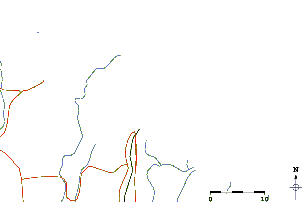
| Contours: | Roads & Rivers: | Select a
tide station / surf break / city |
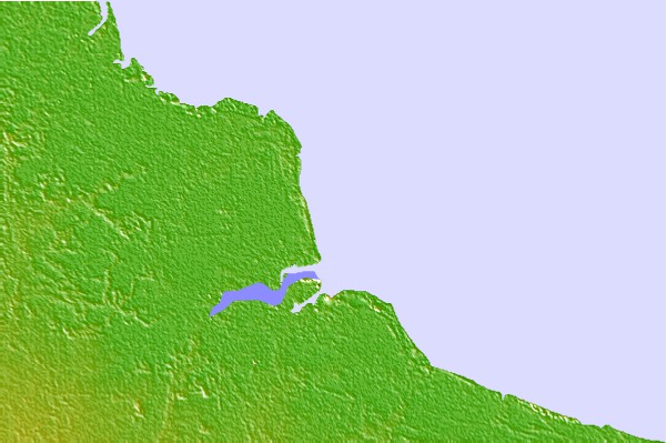
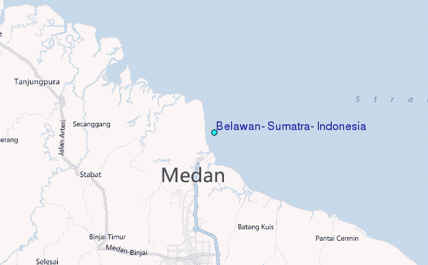
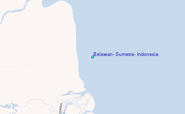
Use this relief map to navigate to tide stations, surf breaks and cities that are in the area of Belawan, Sumatra, Indonesia.
Other Nearby Locations' tide tables and tide charts to Belawan, Sumatra, Indonesia:
click location name for more details
 Surf breaks close to Belawan, Sumatra, Indonesia:
|
||
|---|---|---|
| Closest surf break | Treasure Island | 150 mi |
| Second closest surf break | Pulau Pinang | 154 mi |
| Third closest surf break | Bay of Plenty | 155 mi |
| Fourth closest surf break | Turtle Island | 167 mi |
| Fifth closest surf break | Tengah Beach (Bank Negara) | 183 mi |

 Nearest
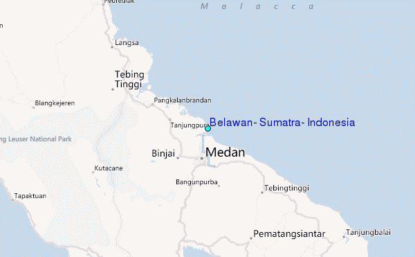