
| Distance / Altitude | Location | Report Date / Time | Live Weather | Wind | Gusts | Temp. | Visibility | Cloud |
|---|---|---|---|---|---|---|---|---|
| 10 km NNE / 215 m | Belém/Val de Cães International Airport (Brazil) | 2024-05-01 23:00 local (2024/05/02 02:00 GMT) | Dry and partly cloudy | light winds from the E (7 km/h at 80) | — | 0.0 | few broken few | |
| 325 km W / 215 m | Macapa International Airport (Brazil) | 2024-05-01 23:00 local (2024/05/02 02:00 GMT) | Dry and partly cloudy | calm (4 km/h at 130) | 27°C | 10.0 | scattered broken | |
| 330 km W / 17 m | Macapa (Aero) (Brazil) | 2024-05-01 22:00 local (2024/05/02 01:00 GMT) | no report | light winds from the ESE (7 km/h at 110) | 28°C | 20 | - - - | |
| 435 km S / 215 m | Maraba Airport (Brazil) | 2024-05-01 23:00 local (2024/05/02 02:00 GMT) | - | calm (0 km/h at 0) | — | 0.0 | ||
| 447 km NNE / 15 m | ASCATC312E2N (Marine) | 2024-05-01 21:53 local (2024/05/02 00:53 GMT) | moderate winds from the ENE (21 km/h at 73) | — | - km |
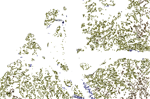
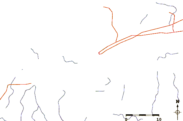
| Contours: | Roads & Rivers: | Select a
tide station / surf break / city |
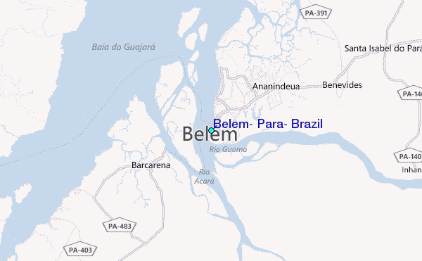
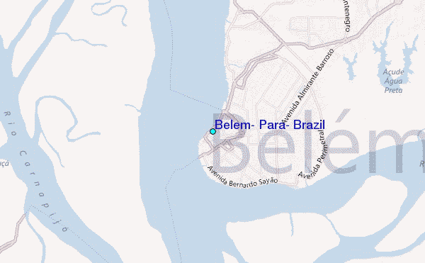
Use this relief map to navigate to tide stations, surf breaks and cities that are in the area of Belém, Pará, Brazil.
Other Nearby Locations' tide tables and tide charts to Belem, Para, Brazil:
click location name for more details
 Surf breaks close to Belem, Para, Brazil:
|
||
|---|---|---|
| Closest surf break | Araruna | 53 mi |
| Second closest surf break | Ponta d'Areia | 296 mi |
| Third closest surf break | Praia de Sao Marcos | 297 mi |
| Fourth closest surf break | Ponta do Farol | 298 mi |
| Fifth closest surf break | Praia do Calhau | 300 mi |

 Nearest
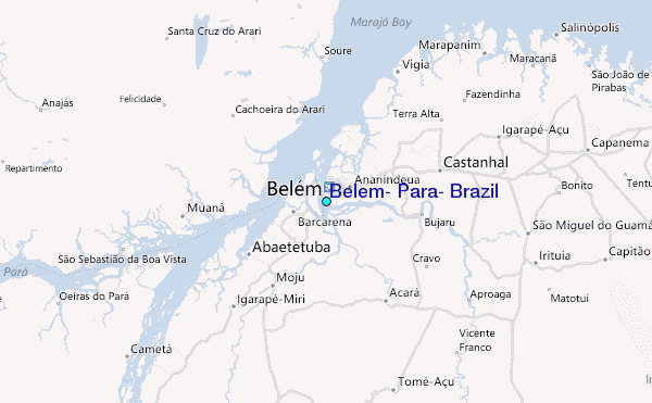