
| Distance / Altitude | Location | Report Date / Time | Live Weather | Wind | Gusts | Temp. | Visibility | Cloud |
|---|---|---|---|---|---|---|---|---|
| 43 km WSW / 15 m | ASCATB80E6N (Marine) | 2024-05-01 21:05 local (2024/05/01 15:35 GMT) | moderate winds from the WSW (20 km/h at 250) | — | - km | |||
| 46 km NW / 5 m | Ratmalana (Sri Lanka) | 2024-05-01 22:30 local (2024/05/01 17:00 GMT) | no report | calm (4 km/h at 250) | 31°C | 20 | - | |
| 47 km W / 15 m | ASCATB80E7N (Marine) | 2024-05-01 21:05 local (2024/05/01 15:35 GMT) | moderate winds from the WSW (20 km/h at 247) | — | - km | |||
| 49 km SSE / 13 m | Galle (Sri Lanka) | 2024-05-01 22:30 local (2024/05/01 17:00 GMT) | lightning visible, no thunder heard | light winds from the WSW (11 km/h at 250) | 30°C | 20 | - | |
| 53 km ENE / 86 m | Ratnapura (Sri Lanka) | 2024-05-01 22:30 local (2024/05/01 17:00 GMT) | haze | calm (4 km/h at 50) | 26°C | 5 | - - - |
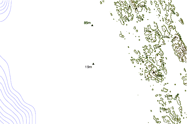
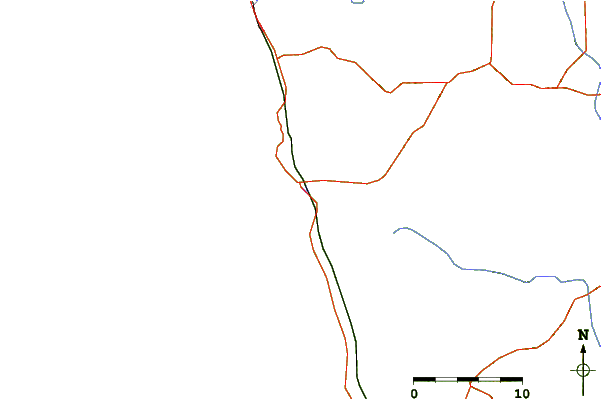
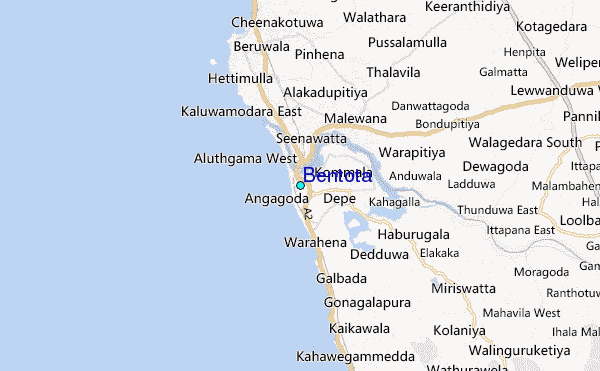
| Contours: | Roads & Rivers: | Select a
tide station / surf break / city |
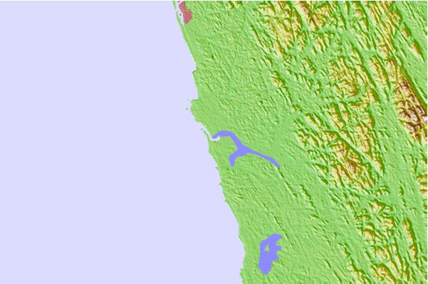
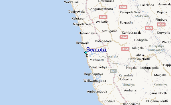
Use this relief map to navigate to tide stations, surf breaks and cities that are in the area of Bentota.
Other Nearby Locations' tide tables and tide charts to Bentota:
click location name for more details
 Surf breaks close to Bentota:
|
||
|---|---|---|
| Closest surf break | Balapitiya | 2 mi |
| Second closest surf break | Induruwa | 5 mi |
| Third closest surf break | Beruwela | 8 mi |
| Fourth closest surf break | Kalutara South | 11 mi |
| Fifth closest surf break | North Jetty (Hikkaduwa) | 12 mi |

 Nearest
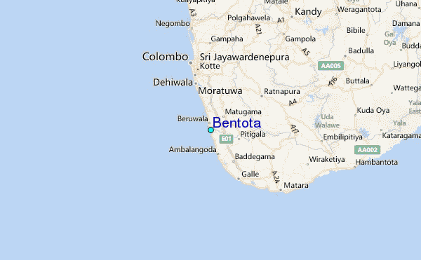