
| Distance / Altitude | Location | Report Date / Time | Live Weather | Wind | Gusts | Temp. | Visibility | Cloud |
|---|---|---|---|---|---|---|---|---|
| 10 km NW / 217 m | Kozhikode (India) | 2024-05-02 11:30 local (2024/05/02 06:00 GMT) | - | light winds from the WSW (9 km/h at 250) | 37°C | 10 km | few | |
| 17 km ESE / 104 m | Calicut Airport (India) | 2024-05-02 12:00 local (2024/05/02 06:30 GMT) | Dry and partly cloudy | light winds from the NW (7 km/h at 310) | 35°C | 6.0 | scattered scattered | |
| 71 km S / 15 m | ASCATC76E11N (Marine) | 2024-05-02 10:32 local (2024/05/02 05:02 GMT) | light winds from the SSW (12 km/h at 192) | — | - km | |||
| 88 km NW / 76 m | Kannur International Airport (India) | 2024-05-02 12:00 local (2024/05/02 06:30 GMT) | Haze - | light winds from the N (6 km/h at 1) | 34°C | 5.0 | scattered scattered | |
| 90 km WNW / 18 m | Kannur (India) | 2024-05-02 11:30 local (2024/05/02 06:00 GMT) | - | calm (4 km/h at 250) | 36°C | 10 km | scattered |
| Contours: | Roads & Rivers: | Select a
tide station / surf break / city |
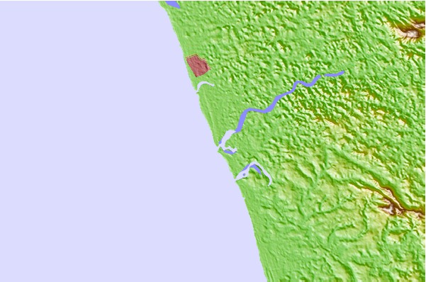
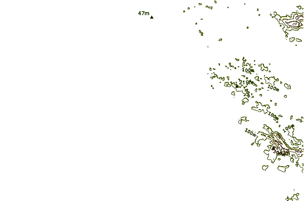
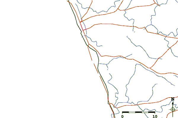
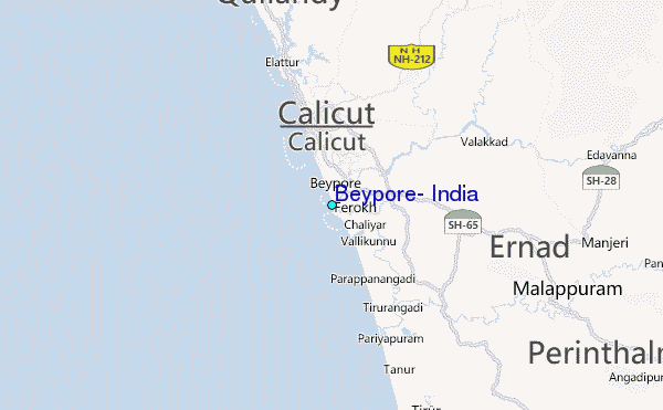
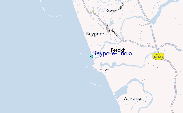
Use this relief map to navigate to tide stations, surf breaks and cities that are in the area of Beypore, India.
Other Nearby Locations' tide tables and tide charts to Beypore, India:
click location name for more details
 Surf breaks close to Beypore, India:
|
||
|---|---|---|
| Closest surf break | Kaup Beach | 159 mi |
| Second closest surf break | Varkala | 179 mi |
| Third closest surf break | Boar Rice | 180 mi |
| Fourth closest surf break | Maravanthe Beach | 193 mi |
| Fifth closest surf break | Kovalam | 208 mi |

 Nearest
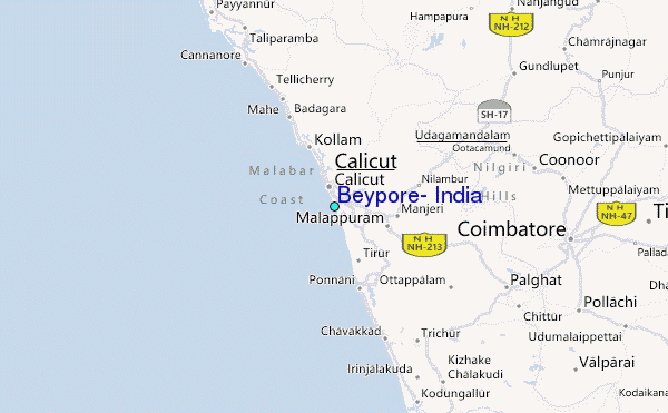