
| Distance / Altitude | Location | Report Date / Time | Live Weather | Wind | Gusts | Temp. | Visibility | Cloud |
|---|---|---|---|---|---|---|---|---|
| 67 km NE / 40 m | Virac (Philippines) | 2024-04-28 10:00 local (2024/04/28 02:00 GMT) | state of sky unchanged | light winds from the SE (14 km/h at 140) | 30°C | 18 | - | |
| 93 km S / 35 m | Masbate (Philippines) | 2024-04-28 10:00 local (2024/04/28 02:00 GMT) | no report | light winds from the E (11 km/h at 90) | 31°C | 20 | - | |
| 93 km S / 210 m | Macatan Airport (Philippines) | 2024-04-28 10:00 local (2024/04/28 02:00 GMT) | no report | light winds from the NE (11 km/h at 50) | 31°C | 10 | scattered - - | |
| 176 km SW / 47 m | Romblon Airport (Tablas Island) (Philippines) | 2024-04-28 10:00 local (2024/04/28 02:00 GMT) | Dry and cloudy | moderate winds from the NNE (22 km/h at 20) | 30°C | 10.0 | scattered overcast | |
| 199 km SE / 96 m | Catbalogan-Samar (Philippines) | 2024-04-28 10:00 local (2024/04/28 02:00 GMT) | no report | light winds from the S (7 km/h at 180) | 30°C | 30 | - |
| Contours: | Roads & Rivers: | Select a
tide station / surf break / city |
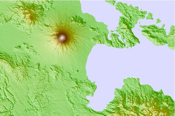
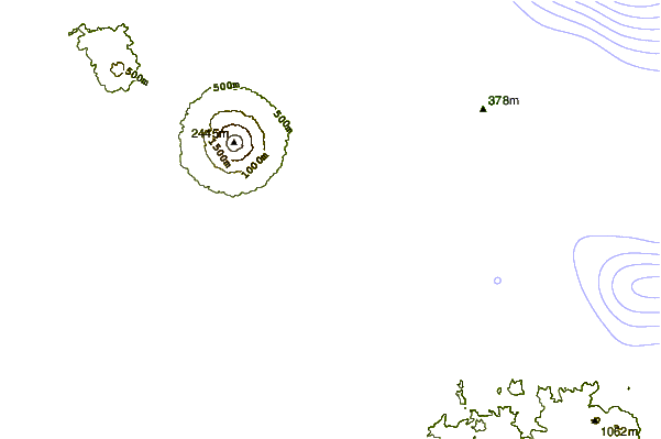
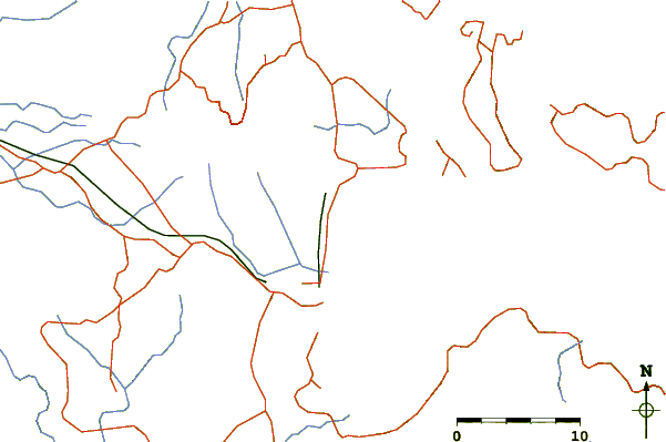
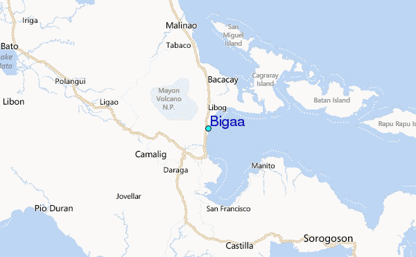
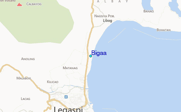
Use this relief map to navigate to tide stations, surf breaks and cities that are in the area of Bigaa.
Other Nearby Locations' tide tables and tide charts to Bigaa:
click location name for more details
 Surf breaks close to Bigaa:
|
||
|---|---|---|
| Closest surf break | Virac Harbour | 40 mi |
| Second closest surf break | Moning | 52 mi |
| Third closest surf break | Lucky Point | 55 mi |
| Fourth closest surf break | Majestics | 55 mi |
| Fifth closest surf break | Point B | 55 mi |

 Nearest
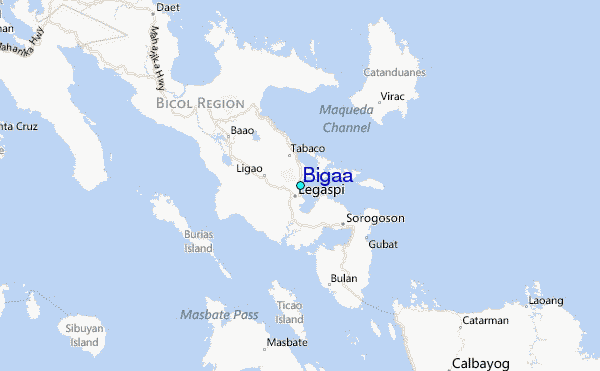