
| Distance / Altitude | Location | Report Date / Time | Live Weather | Wind | Gusts | Temp. | Visibility | Cloud |
|---|---|---|---|---|---|---|---|---|
| 4 km WSW / 348 m | George F. L. Charles Airport/Vigie/St Lucia (Lesser Antilles) | 2024-04-28 09:00 local (2024/04/28 13:00 GMT) | Dry and partly cloudy | light winds from the ESE (17 km/h at 110) | 30°C | 10.0 | broken | |
| 30 km S / 188 m | Hewanorra International Airport (Lesser Antilles) | 2024-04-28 09:00 local (2024/04/28 13:00 GMT) | Dry and partly cloudy | moderate winds from the E (24 km/h at 100) | 30°C | 10.0 | scattered | |
| 64 km N / 8 m | Lamentin -Aero (France) | 2024-04-28 08:00 local (2024/04/28 12:00 GMT) | continuous light rain | moderate winds from the ESE (25 km/h at 110) | 28°C | 55 | - | |
| 65 km N / 214 m | Le Lamentin/Martinique Aimé Césaire International Airport (Lesser Antilles) | 2024-04-28 09:30 local (2024/04/28 13:30 GMT) | Dry and partly cloudy | light winds from the ESE.(Wind varies from 060 to 140 degs) (19 km/h at 110) | 30°C | 10.0 | few broken broken | |
| 77 km N / 171 m | Rivière Lézarde wx (Martinique) | 2024-04-28 09:57 local (2024/04/28 13:57 GMT) | dry | calm (3 km/h at 261) | 28°C | - | - - 0 |
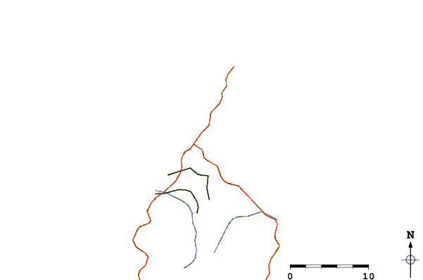
| Contours: | Roads & Rivers: | Select a
tide station / surf break / city |
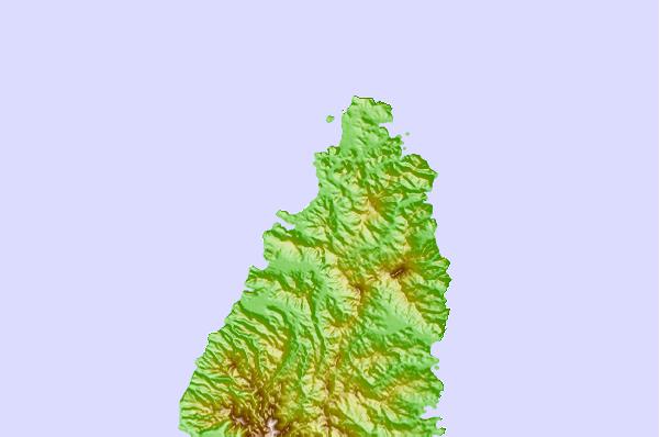
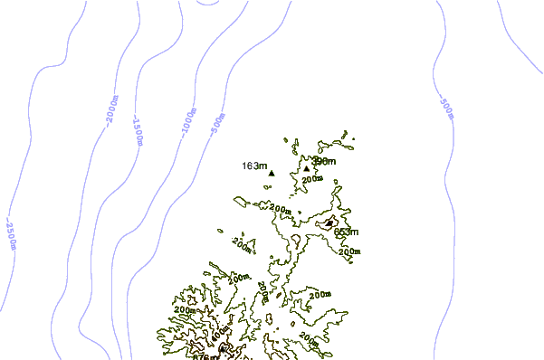
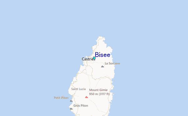
Use this relief map to navigate to tide stations, surf breaks and cities that are in the area of Bisee.
Other Nearby Locations' tide tables and tide charts to Bisee:
click location name for more details
 Surf breaks close to Bisee:
|
||
|---|---|---|
| Closest surf break | Commaret Point | 6 mi |
| Second closest surf break | Pigeon Point | 6 mi |
| Third closest surf break | Anse Trabaud | 28 mi |
| Fourth closest surf break | Anse Cafard | 31 mi |
| Fifth closest surf break | Diam's | 32 mi |

 Nearest
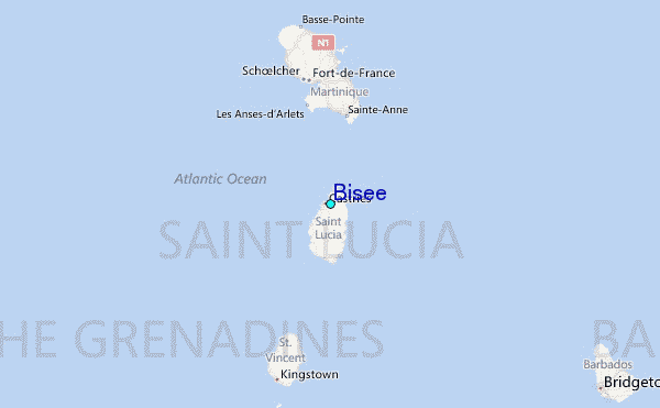