
| Distance / Altitude | Location | Report Date / Time | Live Weather | Wind | Gusts | Temp. | Visibility | Cloud |
|---|---|---|---|---|---|---|---|---|
| 182 km WSW / 288 m | Juigalpa Airport (Nicaragua) | 2024-05-02 16:00 local (2024/05/02 22:00 GMT) | Dry and partly cloudy | light winds from the E (7 km/h at 90) | 35°C | 10.0 | scattered | |
| 196 km S / 89 m | La Vega wx (Costa Rica) | 2024-05-02 17:09 local (2024/05/02 23:09 GMT) | - | - (- km/h at ) | 23°C | - | - - 0 | |
| 214 km SSW / 678 m | Tierras Morenas (Costa Rica) | 2024-05-02 16:40 local (2024/05/02 22:40 GMT) | dry | - (- km/h at ) | — | - | - - 0 | |
| 224 km S / 1200 m | Barva (Costa Rica) | 2024-05-02 17:48 local (2024/05/02 23:48 GMT) | dry | calm (3 km/h at 249) | 23°C | - | - - 0 | |
| 225 km ENE / 164 m | San Andres Island Airport (Columbia) | 2024-05-02 16:00 local (2024/05/02 22:00 GMT) | - | light winds from the NNW.(Wind varies from 310 to 030 degs) (11 km/h at 340) | 30°C | 10.0 | few |
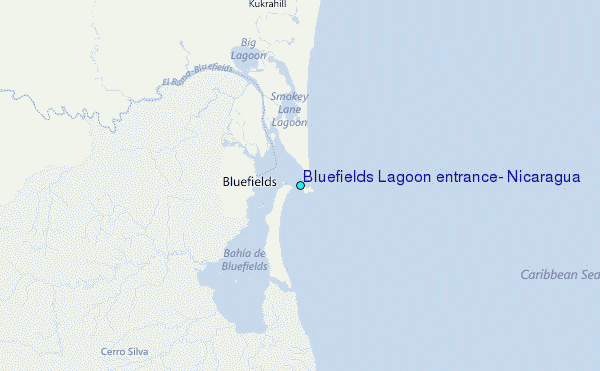
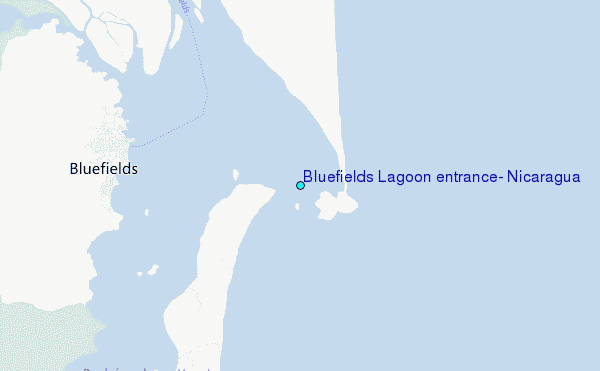
Choose Bluefields Lagoon entrance, Nicaragua Location Map Zoom:
| Contours: | Roads & Rivers: | Select a
tide station / surf break / city |
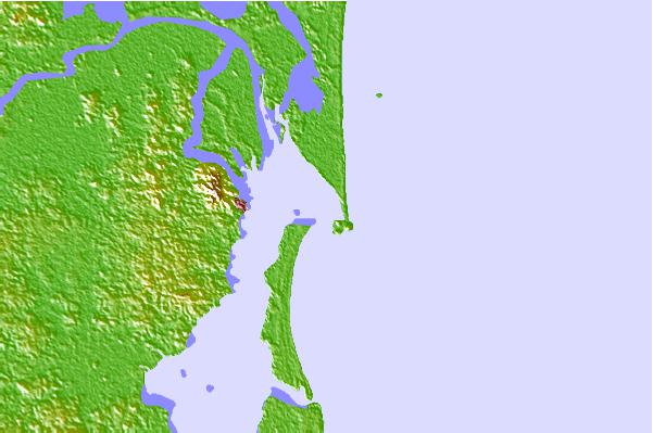
Use this relief map to navigate to tide stations, surf breaks and cities that are in the area of Bluefields Lagoon entrance, Nicaragua.
Other Nearby Locations' tide tables and tide charts to Bluefields Lagoon entrance, Nicaragua:
click location name for more details
 Surf breaks close to Bluefields Lagoon entrance, Nicaragua:
|
||
|---|---|---|
| Closest surf break | Tortuguero | 139 mi |
| Second closest surf break | Playa Bonita | 144 mi |
| Third closest surf break | Portete | 144 mi |
| Fourth closest surf break | Roca Alta | 144 mi |
| Fifth closest surf break | Isla Uvita | 146 mi |

 Nearest
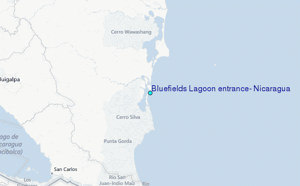