
| Distance / Altitude | Location | Report Date / Time | Live Weather | Wind | Gusts | Temp. | Visibility | Cloud |
|---|---|---|---|---|---|---|---|---|
| 1 km NE / 405 m | Boca Raton Airport (Florida) | 2024-04-29 10:53 local (2024/04/29 14:53 GMT) | Dry and partly cloudy | light winds from the SE (19 km/h at 140) | 27°C | 16 | scattered scattered | |
| 5 km S / 4 m | College Park wx (United States) | 2024-04-29 12:07 local (2024/04/29 16:07 GMT) | dry | light winds from the ESE (10 km/h at 108) | 27°C | - | - - 0 | |
| 6 km SW / 12 m | Boca Raton (Florida) | 2024-04-29 12:21 local (2024/04/29 16:21 GMT) | dry | light winds from the E (10 km/h at 100) | 26°C | - | - - 0 | |
| 11 km N / 4.6 m | Delray Beach (Florida) | 2024-04-29 11:46 local (2024/04/29 15:46 GMT) | dry | light winds from the ENE (6 km/h at 78) | 25°C | - | - - 0 | |
| 12 km SSE / 4 m | Lighthouse Point wx (United States) | 2024-04-29 12:27 local (2024/04/29 16:27 GMT) | dry | light winds from the ESE (13 km/h at 111) | 27°C | - | - - 0 |
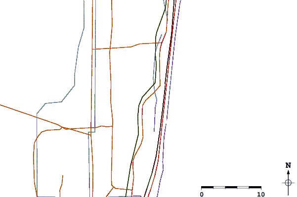
| Contours: | Roads & Rivers: | Select a
tide station / surf break / city |
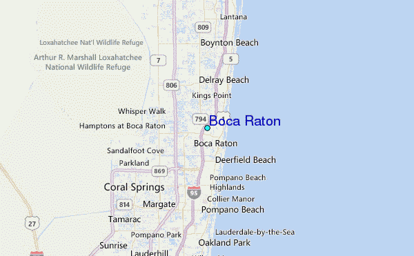
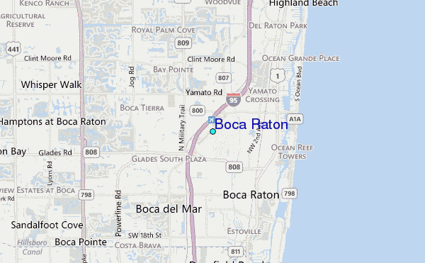
Use this relief map to navigate to tide stations, surf breaks and cities that are in the area of Boca Raton.
Other Nearby Locations' tide tables and tide charts to Boca Raton:
click location name for more details
 Surf breaks close to Boca Raton:
|
||
|---|---|---|
| Closest surf break | South Beach Pavilion | 2 mi |
| Second closest surf break | Spanish River | 2 mi |
| Third closest surf break | Jap Rock | 3 mi |
| Fourth closest surf break | Boca Inlet | 4 mi |
| Fifth closest surf break | Boca Raton Inlet | 4 mi |

 Nearest
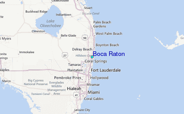