
| Distance / Altitude | Location | Report Date / Time | Live Weather | Wind | Gusts | Temp. | Visibility | Cloud |
|---|---|---|---|---|---|---|---|---|
| 10 km S / 218 m | Jacksonville Airport (Florida) | 2024-05-02 05:56 local (2024/05/02 09:56 GMT) | Clear | light winds from the WNW (6 km/h at 300) | 18°C | 16 | ||
| 12 km E / 9 m | Fernandina Beach (Florida) | 2024-05-02 07:07 local (2024/05/02 11:07 GMT) | dry | calm (0 km/h at 94) | 18°C | - | - - 0 | |
| 14 km SE / 23 m | Jacksonville (Florida) | 2024-05-02 07:03 local (2024/05/02 11:03 GMT) | dry | calm (0 km/h at 175) | 19°C | - | - - 0 | |
| 19 km E / 5 m | Fernandina Beach Airport (Florida) (Florida) | 2024-05-02 06:35 local (2024/05/02 10:35 GMT) | Clear | calm (0 km/h at 0) | 19°C | 11 | ||
| 21 km S / 3 m | BUOY-NFDF1 (Marine) | 2024-05-02 07:00 local (2024/05/02 11:00 GMT) | calm (5 km/h at 120) | 22°C | 10.9 |
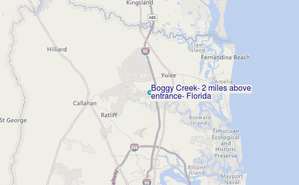
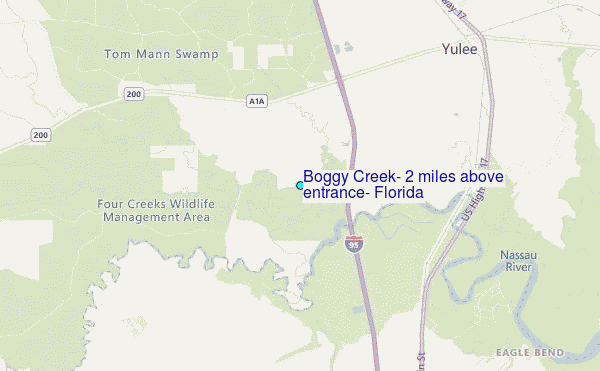
Choose Boggy Creek, 2 miles above entrance, Florida Location Map Zoom:
| Contours: | Roads & Rivers: | Select a
tide station / surf break / city |
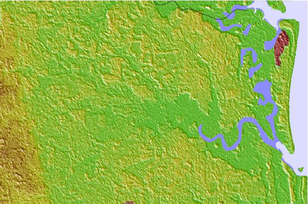
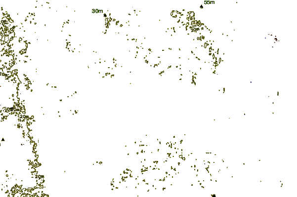
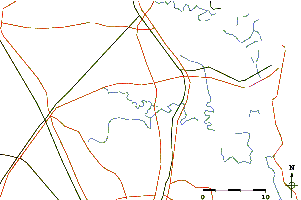
Use this relief map to navigate to tide stations, surf breaks and cities that are in the area of Boggy Creek, 2 miles above entrance, Florida.
Other Nearby Locations' tide tables and tide charts to Boggy Creek, 2 miles above entrance, Florida:
click location name for more details
 Surf breaks close to Boggy Creek, 2 miles above entrance, Florida:
|
||
|---|---|---|
| Closest surf break | Fernandina Beach Pier | 14 mi |
| Second closest surf break | Fernandina Pier | 15 mi |
| Third closest surf break | Main Beach | 15 mi |
| Fourth closest surf break | Hooks | 16 mi |
| Fifth closest surf break | St Marys Rivermouth | 16 mi |

 Nearest
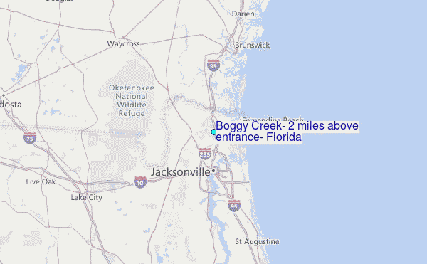