
| Distance / Altitude | Location | Report Date / Time | Live Weather | Wind | Gusts | Temp. | Visibility | Cloud |
|---|---|---|---|---|---|---|---|---|
| 48 km ENE / 24 m | Macatan Airport (Philippines) | 2024-05-04 05:00 local (2024/05/03 21:00 GMT) | no report | calm (0 km/h at 0) | 27°C | 10 | - mostly cloudy - | |
| 76 km SSE / 8 m | Tagbilaran Airport-Bohol Airport (Philippines) | 2024-05-04 05:00 local (2024/05/03 21:00 GMT) | - | light winds from the NNE (7 km/h at 20) | 26°C | 32 km | scattered | |
| 76 km SSE / 8 m | Tagbilaran (Philippines) | 2024-05-04 05:00 local (2024/05/03 21:00 GMT) | - | light winds from the NNE (7 km/h at 20) | 26°C | 32 km | - scattered - | |
| 106 km S / 8 m | Dumaguete (Philippines) | 2024-05-04 05:00 local (2024/05/03 21:00 GMT) | no report | light winds from the WNW (7 km/h at 290) | 27°C | 30 km | - few - | |
| 140 km E / 212 m | Maasin (Philippines) | 2024-05-04 05:00 local (2024/05/03 21:00 GMT) | Haze | calm (4 km/h at 320) | 27°C | 40 km | - scattered - |
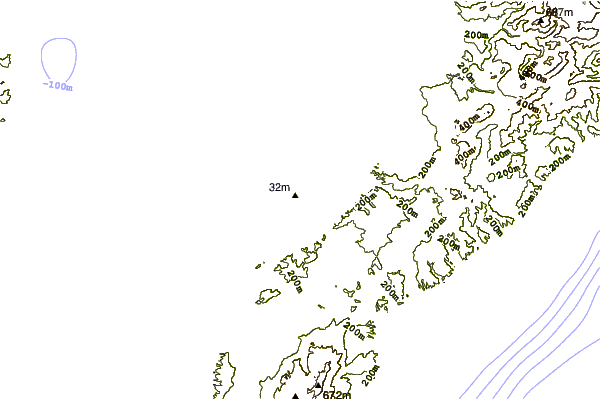
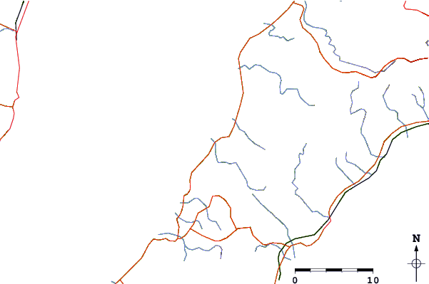
| Contours: | Roads & Rivers: | Select a
tide station / surf break / city |
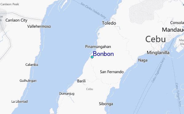
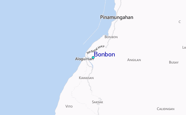
Use this relief map to navigate to tide stations, surf breaks and cities that are in the area of Bonbon.
Other Nearby Locations' tide tables and tide charts to Bonbon:
click location name for more details
 Surf breaks close to Bonbon:
|
||
|---|---|---|
| Closest surf break | Llorente | 158 mi |
| Second closest surf break | Boulevard | 160 mi |
| Third closest surf break | Guitagican Beach | 160 mi |
| Fourth closest surf break | Pirates Cove | 160 mi |
| Fifth closest surf break | Calicoan Island ABCD Beach | 162 mi |

 Nearest
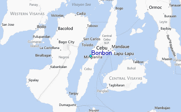