
| Distance / Altitude | Location | Report Date / Time | Live Weather | Wind | Gusts | Temp. | Visibility | Cloud |
|---|---|---|---|---|---|---|---|---|
| 130 km SSE / 210 m | Hall Beach Airport (N.w. Territories) | 2024-04-28 05:41 local (2024/04/28 09:41 GMT) | Heavy snow | gales from the NW (65 km/h at 320) | — | 0 | ||
| 313 km SW / 17 m | Kugaaruk Climate (Canada) | 2024-04-28 05:00 local (2024/04/28 09:00 GMT) | - | moderate winds from the SW (20 km/h at 220) | -24°C | - | no observation | |
| 315 km SW / 325 m | Pelly Bay Airport (N.w. Territories) | 2024-04-28 04:00 local (2024/04/28 08:00 GMT) | Dry and partly cloudy | fresh winds from the WSW (31 km/h at 250) | -23°C | 24 | scattered | |
| 362 km NNE / 217 m | Pond Inlet Airport (N.w. Territories) | 2024-04-28 05:00 local (2024/04/28 09:00 GMT) | Clear | light winds from the W.(Wind varies from 200 to 290 degs) (13 km/h at 280) | -10°C | 14 | ||
| 365 km NNE / 62 m | PondInletA- NU (Canada) | 2024-04-28 05:00 local (2024/04/28 09:00 GMT) | - | light winds from the WSW (13 km/h at 250) | -11°C | 36 km | clear |
| Contours: | Roads & Rivers: | Select a
tide station / surf break / city |
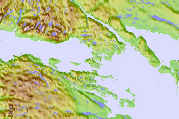
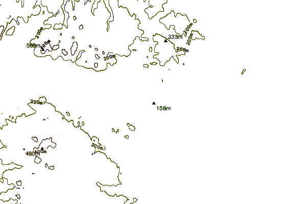
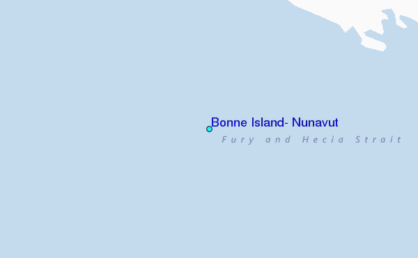
Use this relief map to navigate to tide stations, surf breaks and cities that are in the area of Bonne Island, Nunavut.
Other Nearby Locations' tide tables and tide charts to Bonne Island, Nunavut:
click location name for more details
 Surf breaks close to Bonne Island, Nunavut:
|
||
|---|---|---|
| Closest surf break | Marathon | 1462 mi |
| Second closest surf break | Keweenaw Peninsula | 1555 mi |
| Third closest surf break | Alona Bay | 1566 mi |
| Fourth closest surf break | Apostle Islands | 1593 mi |
| Fifth closest surf break | Ontonagon | 1599 mi |

 Nearest
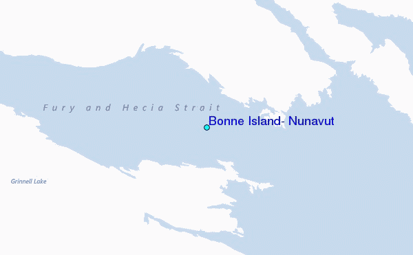