
| Distance / Altitude | Location | Report Date / Time | Live Weather | Wind | Gusts | Temp. | Visibility | Cloud |
|---|---|---|---|---|---|---|---|---|
| 16 km S / 13 m | Redcliffe (Australia) | 2024-04-30 03:00 local (2024/04/29 17:00 GMT) | No report | light winds from the SSW (11 km/h at 210) | 17°C | - | no observation | |
| 23 km WNW / 48 m | BeerburrumForestStation (Australia) | 2024-04-30 03:00 local (2024/04/29 17:00 GMT) | no report | calm (0 km/h at 0) | 16°C | - | - no observation - | |
| 28 km N / 10 m | Golden Beach 1582 (Australia) | 2024-04-30 04:00 local (2024/04/29 18:00 GMT) | - | light winds from the W (9 km/h at 273) | 17°C | - | - - 0 | |
| 32 km S / 217 m | Brisbane International Airport (Australia) | 2024-04-30 03:30 local (2024/04/29 17:30 GMT) | Dry and partly cloudy | light winds from the SSW (13 km/h at 200) | 16°C | 10.0 | scattered | |
| 32 km E / 101 m | Cape Moreton Lighthouse (Australia) | 2024-04-30 03:00 local (2024/04/29 17:00 GMT) | No report | light winds from the E (17 km/h at 100) | 21°C | - | - no observation - |
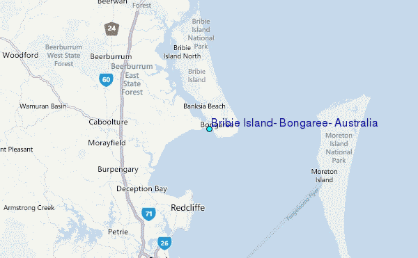
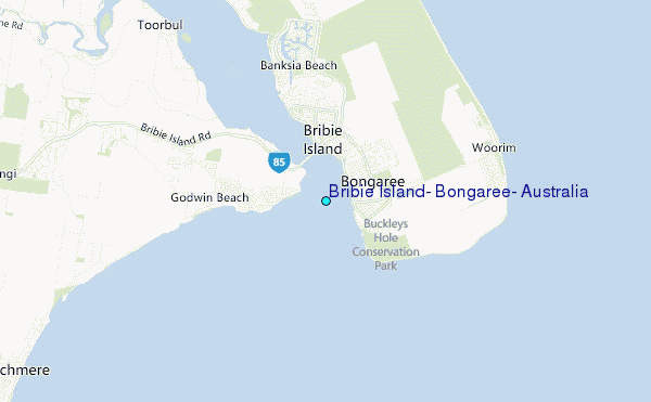
Choose Bribie Island, Bongaree, Australia Location Map Zoom:
| Contours: | Roads & Rivers: | Select a
tide station / surf break / city |
Use this relief map to navigate to tide stations, surf breaks and cities that are in the area of Bribie Island, Bongaree, Australia.
Other Nearby Locations' tide tables and tide charts to Bribie Island, Bongaree, Australia:
click location name for more details
 Surf breaks close to Bribie Island, Bongaree, Australia:
|
||
|---|---|---|
| Closest surf break | Bribie Island | 4 mi |
| Second closest surf break | Moreton Island - Yellow Patch | 13 mi |
| Third closest surf break | Moreton Island - Cape Moreton | 18 mi |
| Fourth closest surf break | Moreton Island - East Coast | 19 mi |
| Fifth closest surf break | Happys | 19 mi |

 Nearest
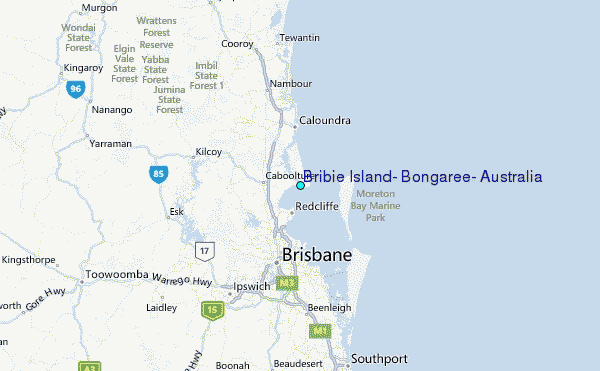